

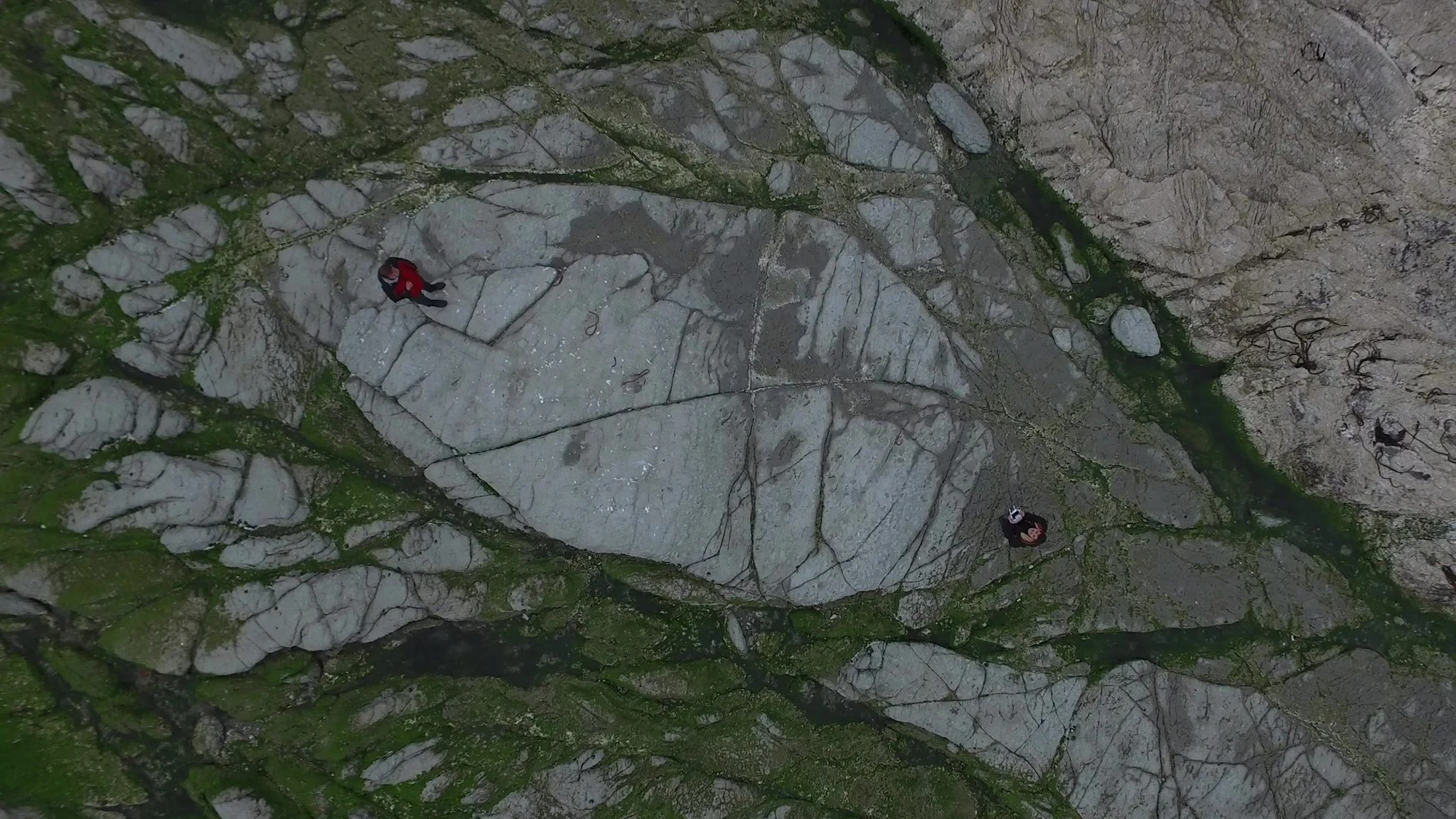
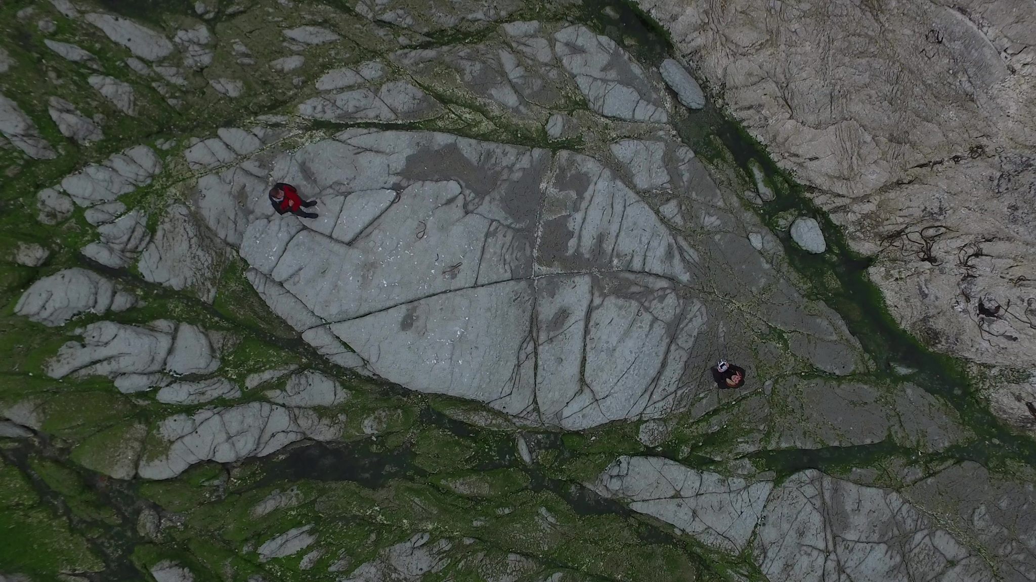
Drone piloting on new, earthquake emerging land

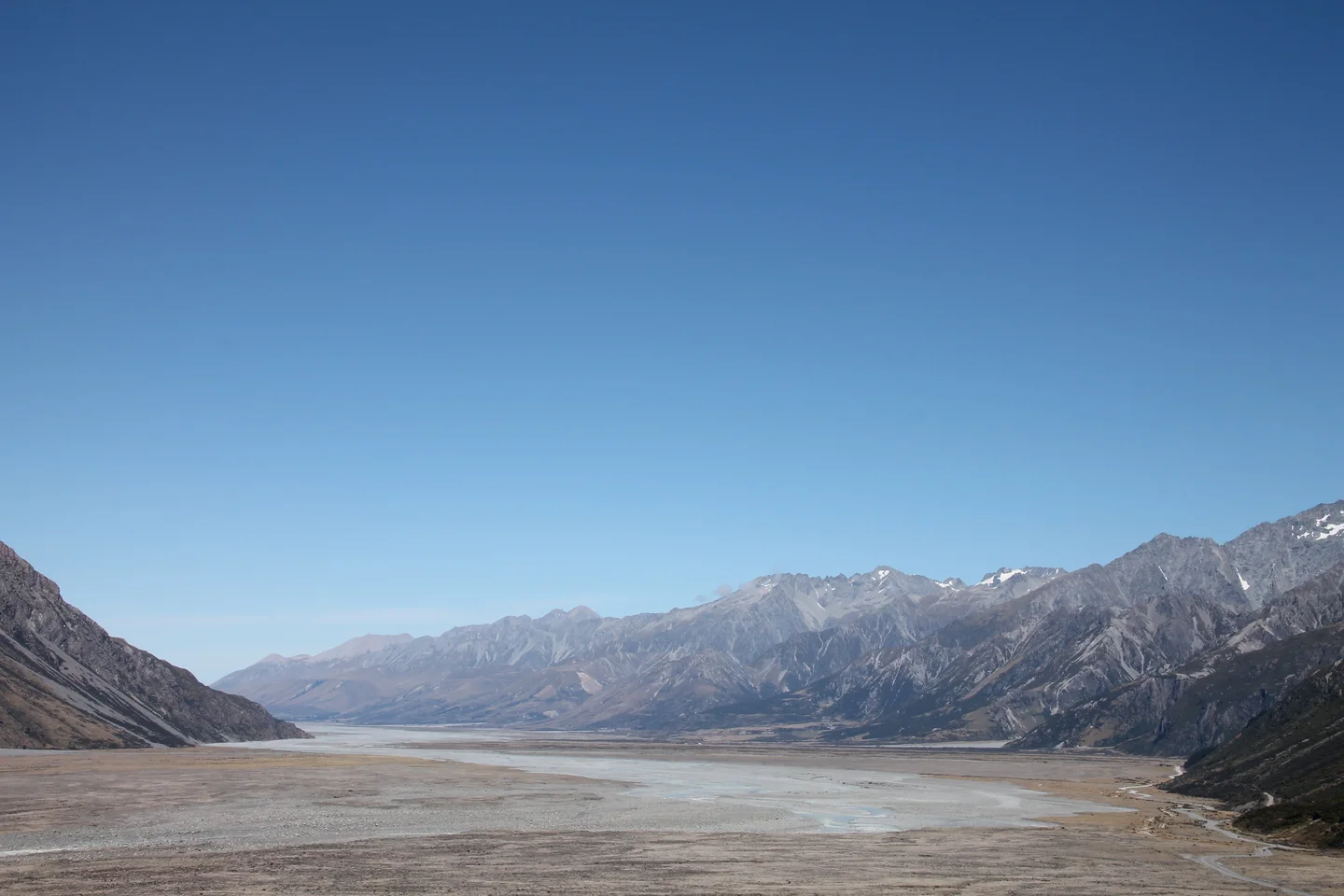
New land emerged from the New Zealand 7.8 Richter earthquake on 2016. And this new land served as the ground to stand and pilot our UAV to measure geomorphology change.
Category
Reuse
Creative Commons Attribution-NonCommercial-NoDerivs 3.0 Unported (CC BY-NC-ND 3.0) (opens in a new window)Credit: Panagiotis Partsinevelos (distributed via imaggeo.egu.eu)
Properties
Type
Image
Format
JPG
Size
441.2 KB
Aspect
16:9
Width
2048 px
Height
1152 px
Software
No editing
Coordinates
-42.1612, 173.2063
Tint
Dark gray
Submitted
15 February 2019
Taken
January 2017

Comments
No comments yet. Be the first to share your thoughts.