

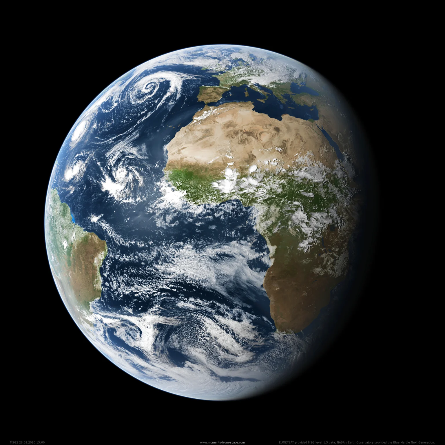
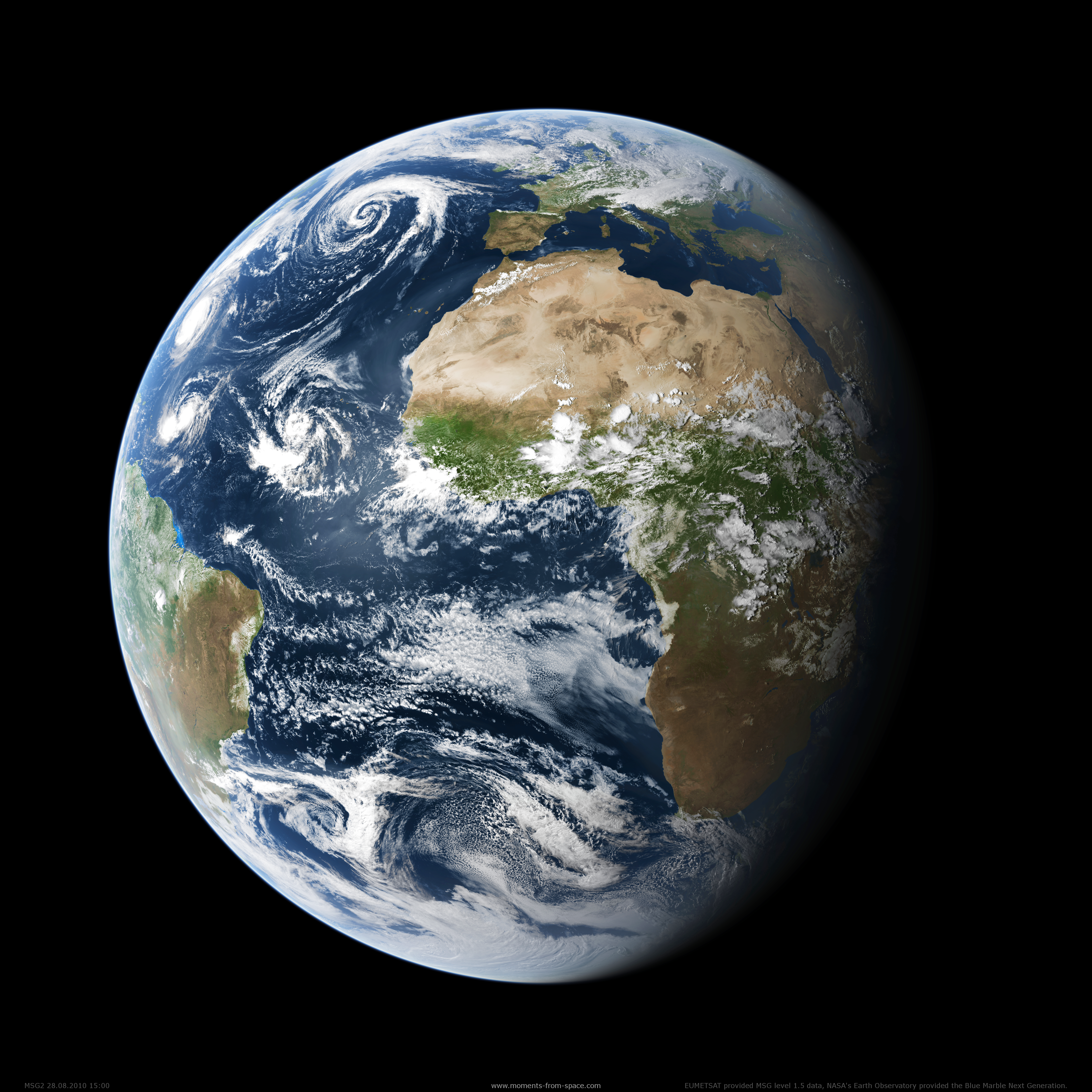
Hurricane Season 2010 as seen from a Satellite

Maximilian Reuter
Institute of Environmental Physics, University of Bremen, Bremen, Germany
This image shows a snapshot of the hurricane season 2010. It was taken at August 28, 2010 15:00 UTC from the MSG satellite in a geostationary orbit 36000 km above the equator at 0°
Featured on GeoLog, the official blog of the European Geosciences Union (opens in a new window)
Categories
Reuse
Creative Commons Attribution-NonCommercial-ShareAlike 3.0 Unported (CC BY-NC-SA 3.0) (opens in a new window)Credit: Maximilian Reuter (distributed via imaggeo.egu.eu)
Properties
Type
Image
Format
PNG
Size
16.3 MB
Aspect
1:1
Width
4500 px
Height
4500 px
Brand
Msg
Model
SEVIRI
Coordinates
35.7465, -39.4629
Tint
Black
Published
14 March 2012
Taken
28 August 2010






Comments
No comments yet. Be the first to share your thoughts.