

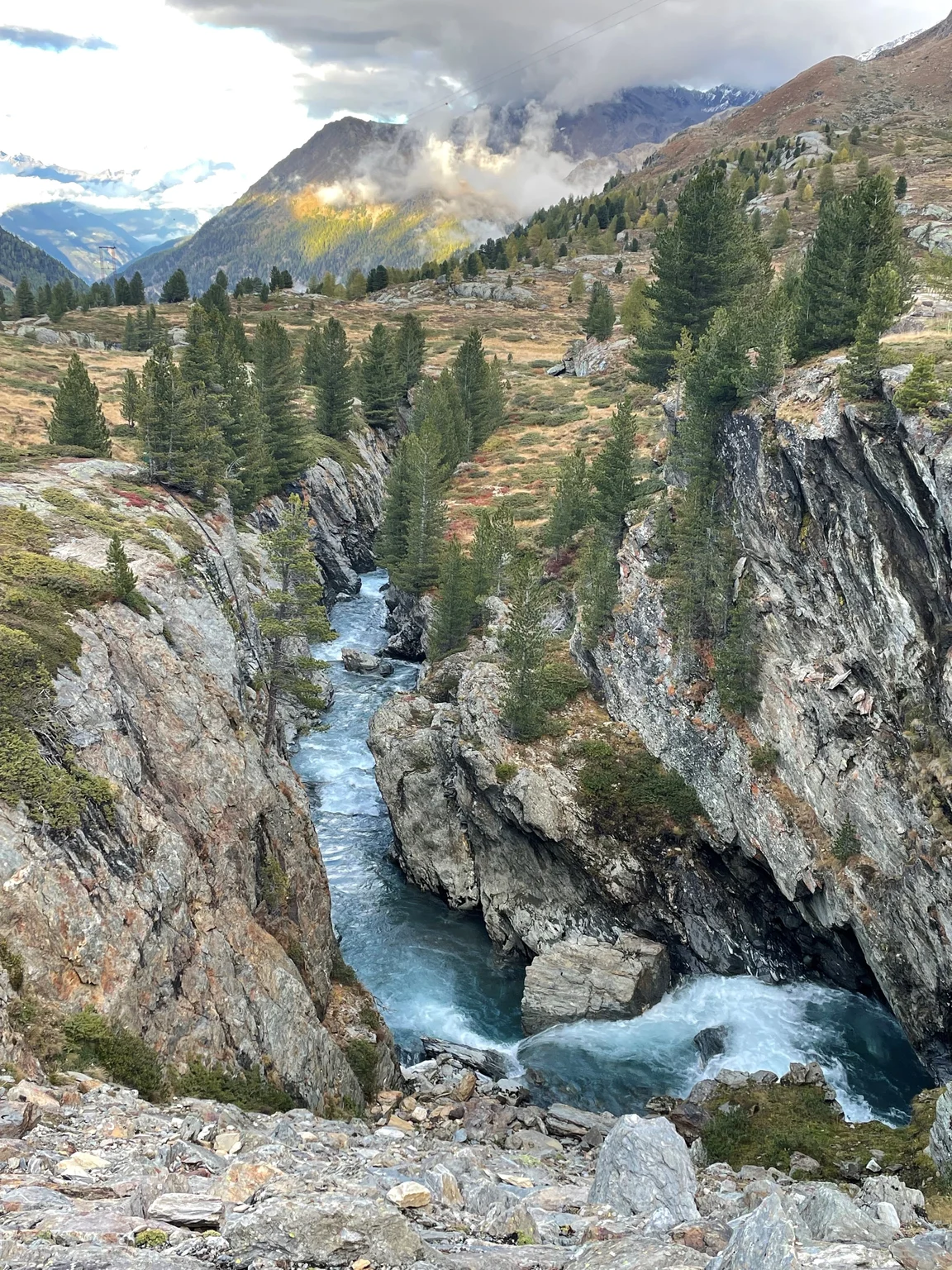
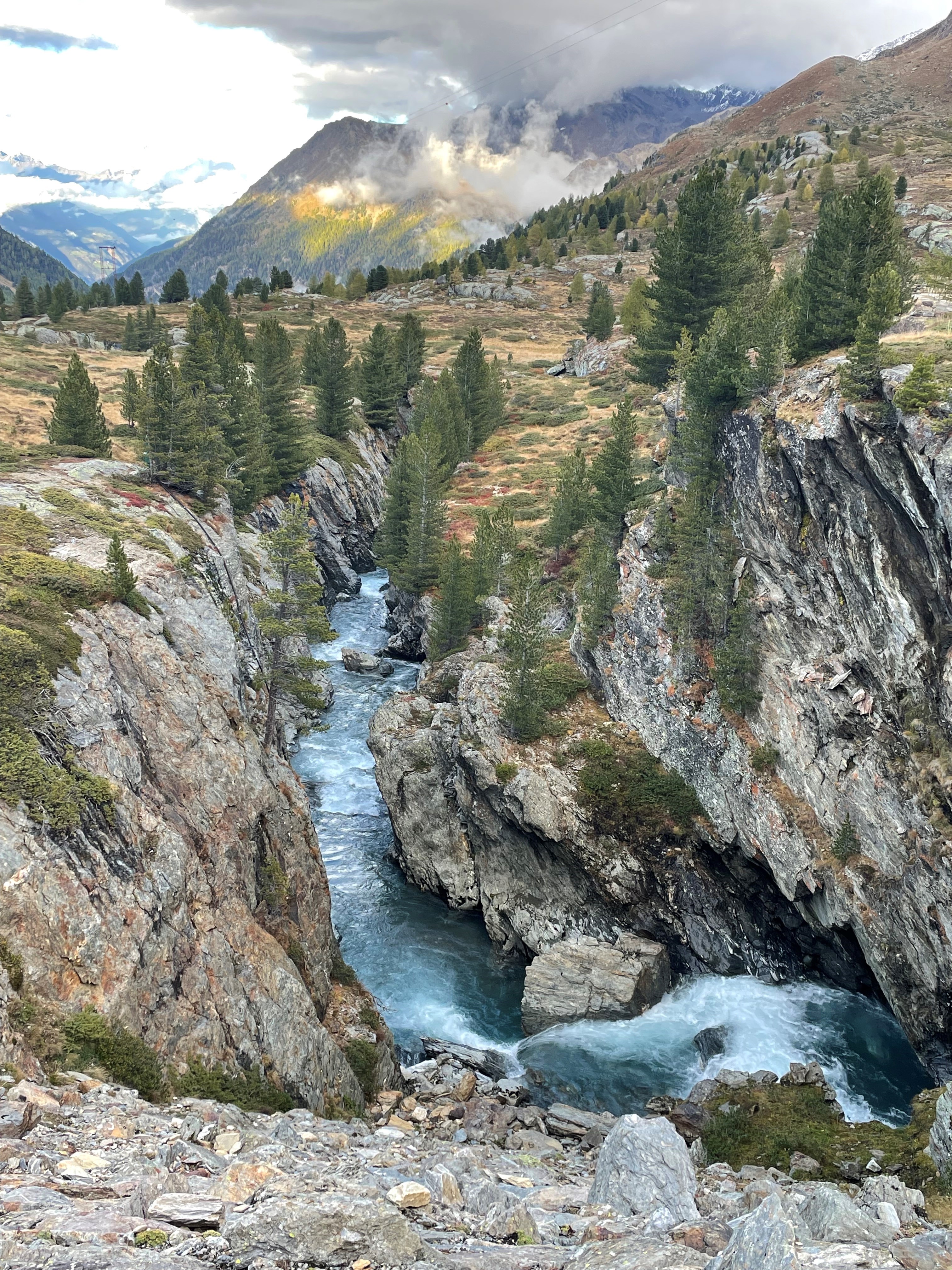
Astonishing Plima river in central European Alps

Xinyang Fan
University of Bern, Bern, Switzerland
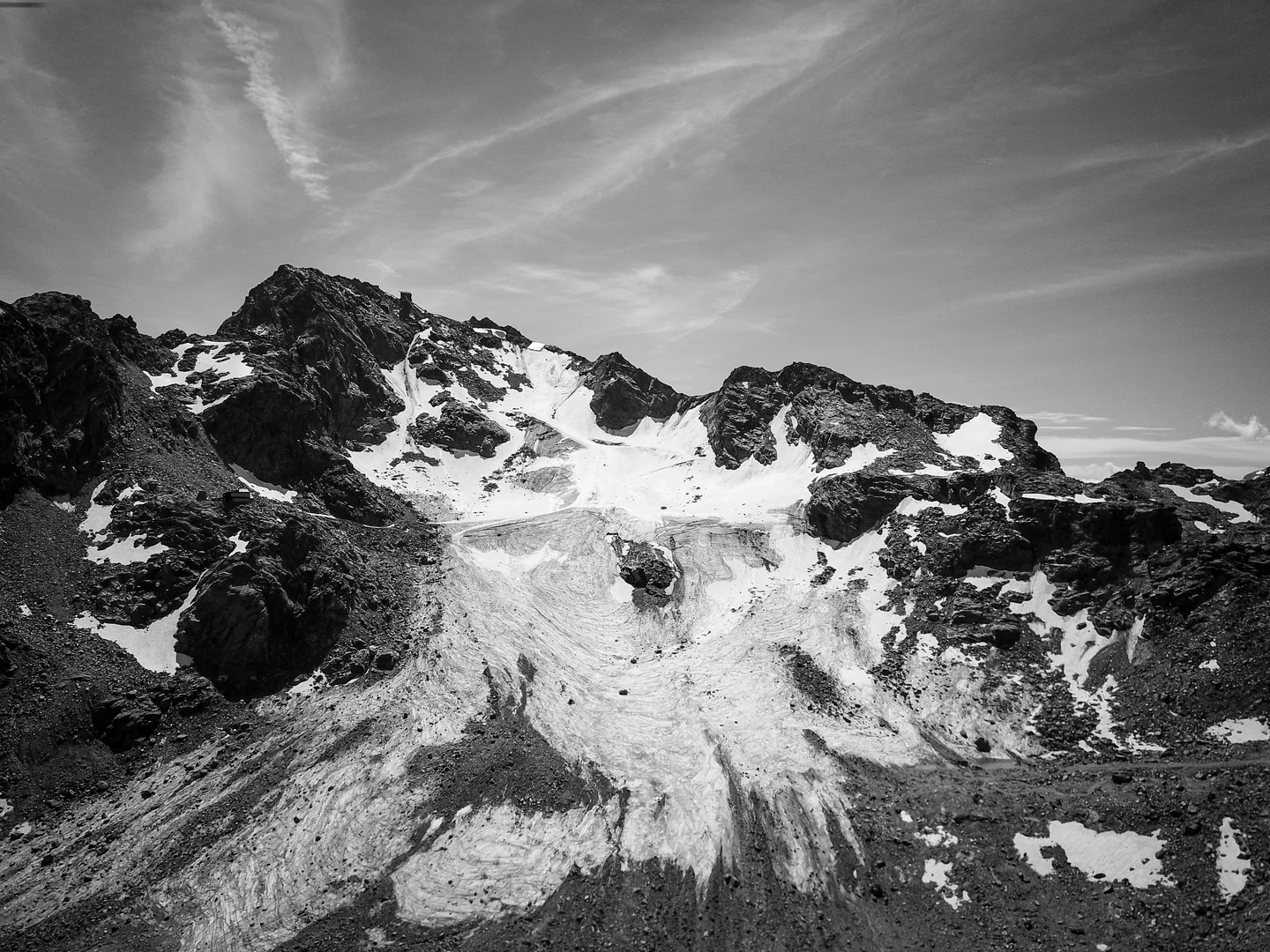
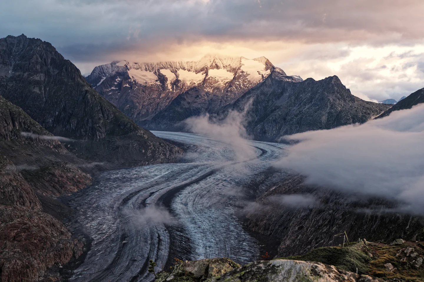
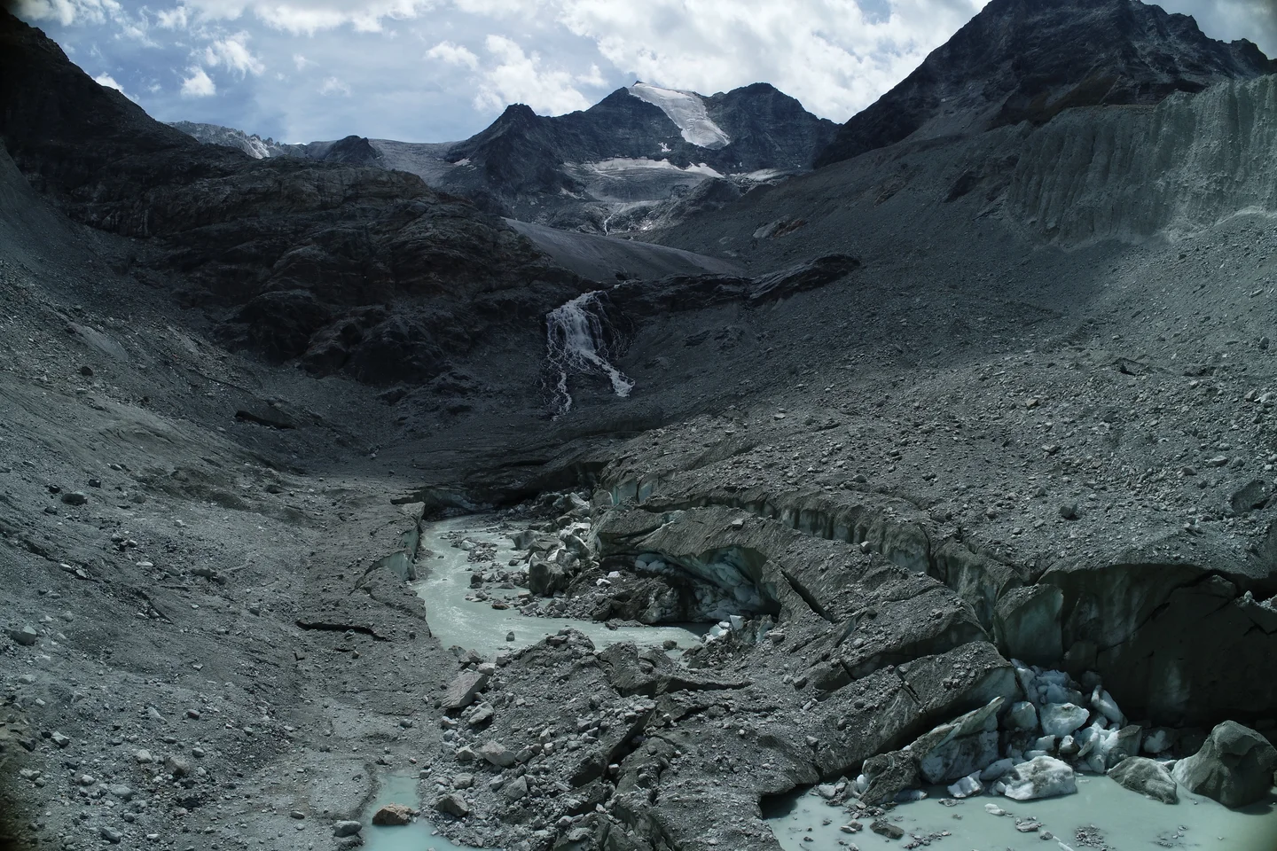
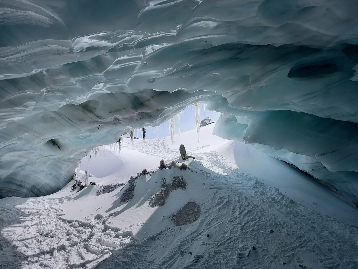
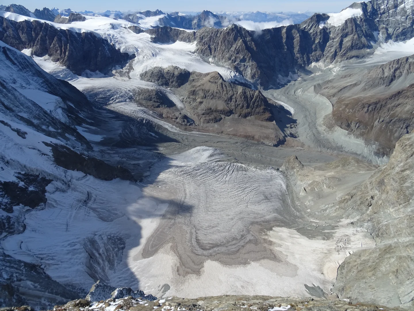
The Plima River flows through a steep rocky valley in the glaciated high Alpine catchment Martelltal in South Tirol (Northern Italy). It emerges from the glacier outlets at an elevation of 3760 m a.s.l., travels around 2km elevation shifts, and finally enters the Zufritt lake where a hydropower plant is built (1840 m a.s.l.). The Plima river plays a crucial role in serving water for local communities and agriculture in this region.
Categories
Reuse
Creative Commons Attribution-NonCommercial-NoDerivs 3.0 Unported (CC BY-NC-ND 3.0) (opens in a new window)Credit: Xinyang Fan (distributed via imaggeo.egu.eu)
Properties
Type
Image
Format
JPG
Size
3.6 MB
Aspect
3:4
Width
3024 px
Height
4032 px
Brand
Apple
Model
iPhone 12 mini
Coordinates
46.4763, 10.6768
Tint
Light gray
Submitted
27 March 2026
Taken
2 October 2024

Comments
No comments yet. Be the first to share your thoughts.