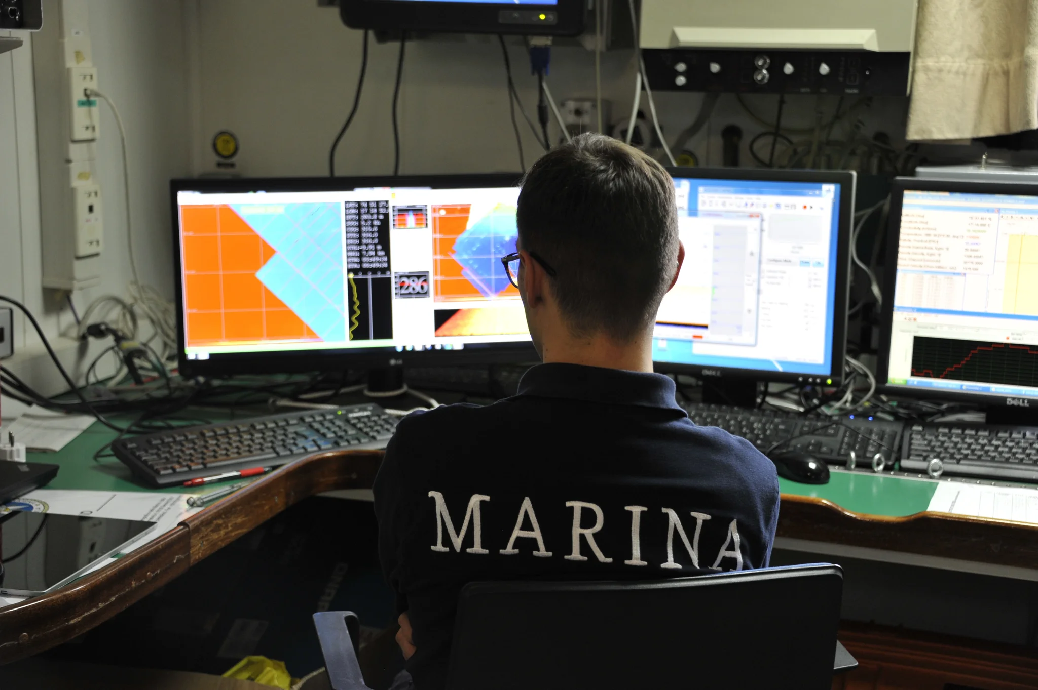
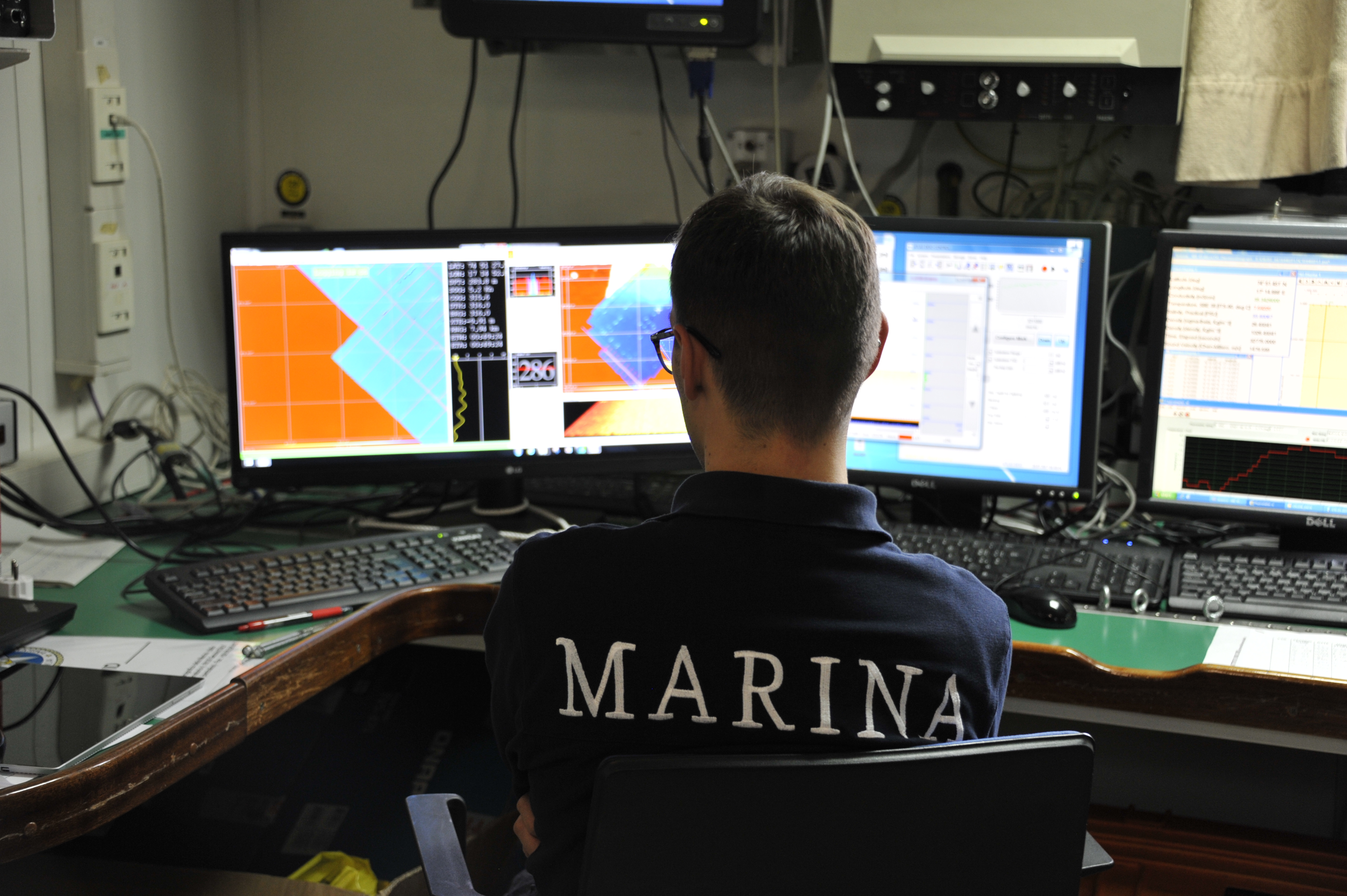
Kveithola Trough (Southern Svalbard), acquisition of 3D acoustic data with multi beam echo sounder
Kveithola Trough (Southern Svalbard), acquisition of 3D acoustic data with multi beam echo sounder. 3D mapping is a useful tool for geophysical researches applied to climatic changes, environmental protection, socio-economic developments and maritime security.
Categories
Properties
Type
Image
Format
JPG
Size
5.0 MB
Width
4256 px
Height
2832 px
Aspect
266:177
Brand
Nikon
Model
D700
Exposure
62 mm f/4.8 1/30 s ISO 1100
Taken
20 July 2017
Coordinates
74.5550, 17.2266
Tint
Black
Submitted
15 February 2018
Credit
Domenico Favuzzi (distributed via imaggeo.egu.eu)
Statistics
1996
Views
165
Likes
0
Stars


Comments
No comments yet. Be the first to share your thoughts.