
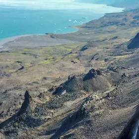
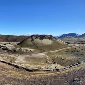
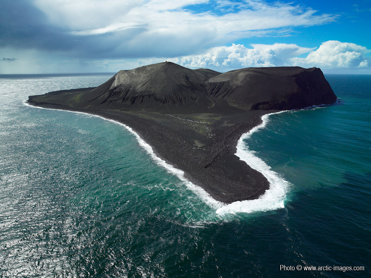
Aerial of Surtsey Island, Iceland
Surtsey is a volcanic island off the southern coast of Iceland which was formed in a volcanic eruption 130 metres below sea level, and reached the surface on 14 November 1963. The eruption lasted until 5 June 1967. The undersea vents that produced Surtsey are part of the Vestmannaeyjar (Westmann Isles) submarine volcanic system, part of the fissure of the sea floor called the Mid-Atlantic Ridge. Higher resolution images available from rth@arctic-images.com (there is a licensing fee depending on the use).
Properties
Type
Image
Format
JPG
Size
485.9 KB
Width
1200 px
Height
900 px
Aspect
4:3
Exposure
35 mm f/6.8 1/500 s ISO 100
Coordinates
63.3030, -20.6047
Tint
Blackish blue
Submitted
10 January 2010
Licence
Credit
Ragnar Sigurdsson (arctic-images.com) (distributed via imaggeo.egu.eu)
Statistics
242
Views
122
Likes
0
Stars

Comments
No comments yet. Be the first to share your thoughts.