

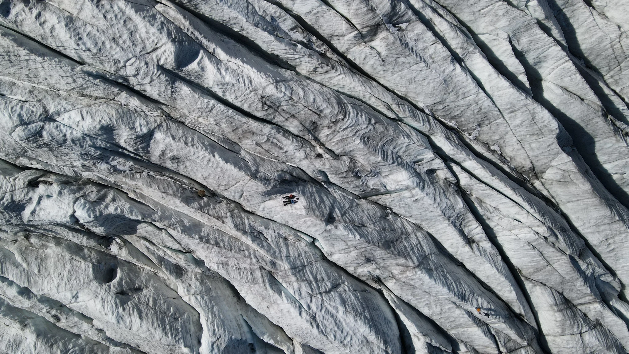
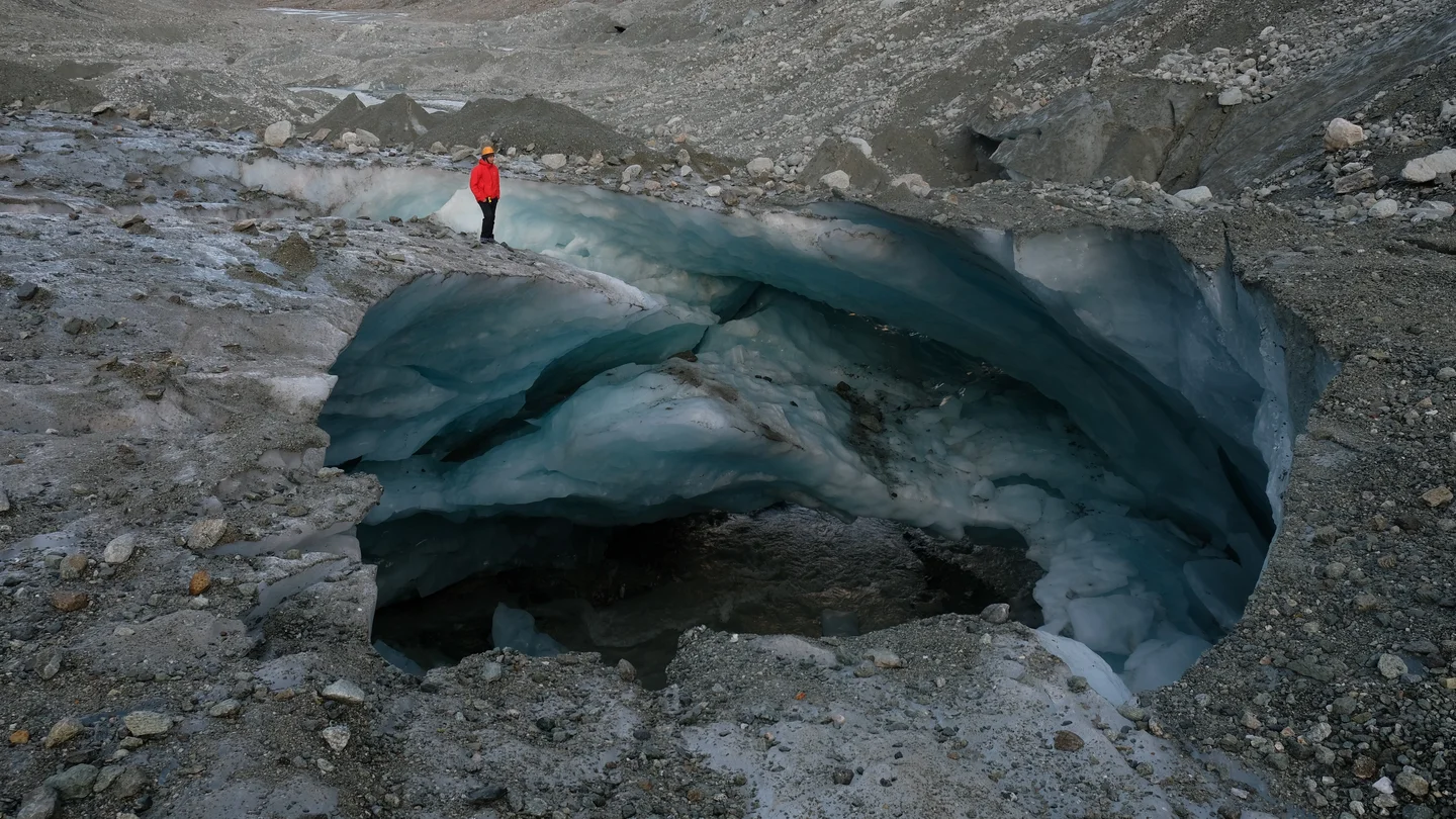
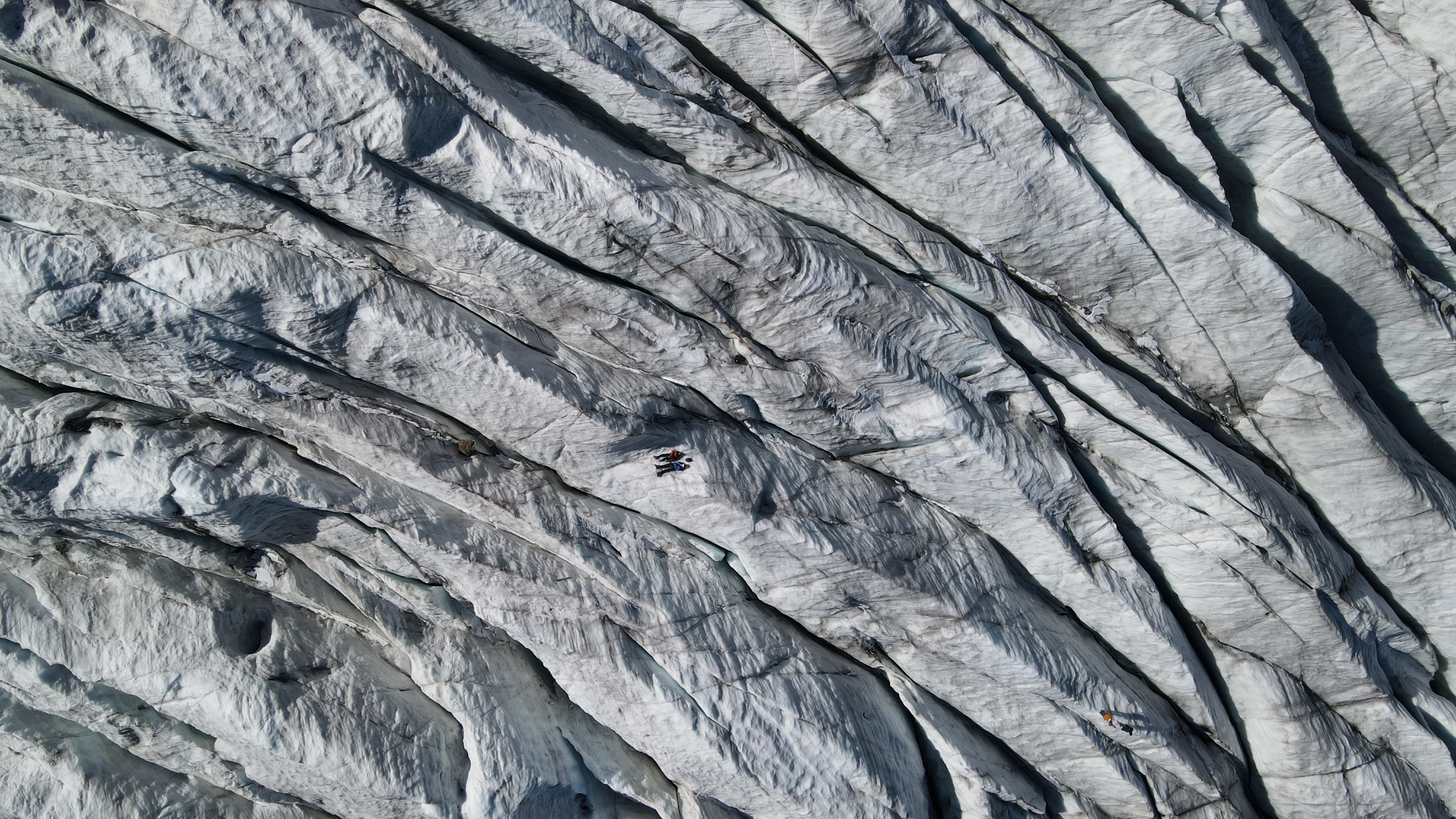
The Morteratsch glacier from the sky.

After spending two days recording ground-penetrating radar data over the lowest part of the Morteratsch glacier, we enjoyed a bit of free-time to explore its upper part where the crevasse field is surprisingly easy access and offers great views for drone's pictures.
Category
Reuse
Creative Commons Attribution 3.0 Unported (CC BY 3.0) (opens in a new window)Credit: Bastien Ruols (distributed via imaggeo.egu.eu)
Properties
Type
Image
Format
JPG
Size
3.9 MB
Aspect
16:9
Width
4000 px
Height
2250 px
Brand
DJI
Model
FC3170
Exposure
5 mm f/2.8 1/1500 s ISO 100
Coordinates
46.4122, 9.9332
Tint
Bluish gray
Submitted
6 March 2023
Comments
No comments yet. Be the first to share your thoughts.