Panorama of the Glarus Thrust
Christian Heine
PaleoEarthLabs.org, The Netherlands
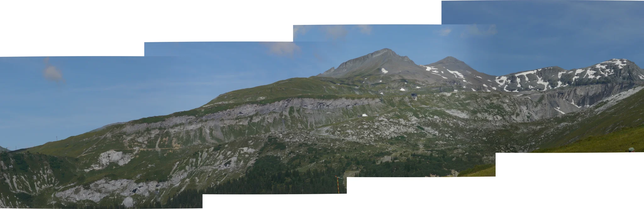
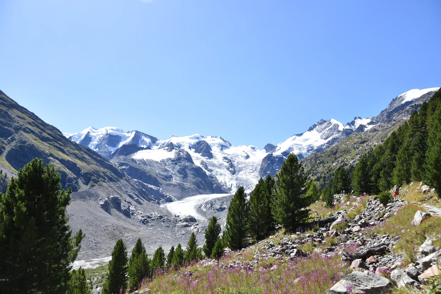
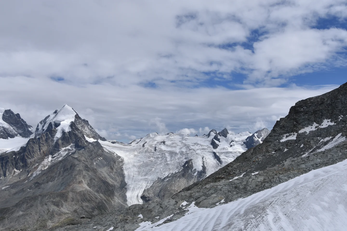
Stitched panoramic view of the Glarus Thrust from Naraus chairlift to the NW, with Crap Nier, Laaxer Stöckli and Ofen Mountains at horizon. Main thrust plane is exposed along Crap Grisch (Grauberg cable car upper station), with darker Permo-Triassic Verrucano unit above and lighter-coloured Infrahelvetic units below. Tectonic transport direction is top-to-the-right. The area is part of the UNESCO World Heritage park 'Tektonikarena Sardona'. The glacial landscape overprint with moraines and valley forms is also visible along with the effects of modern land use for wintersports.
Categories
Tags
Reuse
Creative Commons Attribution-ShareAlike 3.0 Unported (CC BY-SA 3.0) (opens in a new window)Credit: Christian Heine (distributed via imaggeo.egu.eu)
Properties
Type
Image
Format
JPG
Size
6.9 MB
Width
14564 px
Height
4725 px
Aspect
14564:4725
Panorama
Software
DoubleTake
Taken
July 2018
Coordinates
46.8552, 9.2685
Tint
White
Submitted
25 August 2018
Comments
No comments yet. Be the first to share your thoughts.