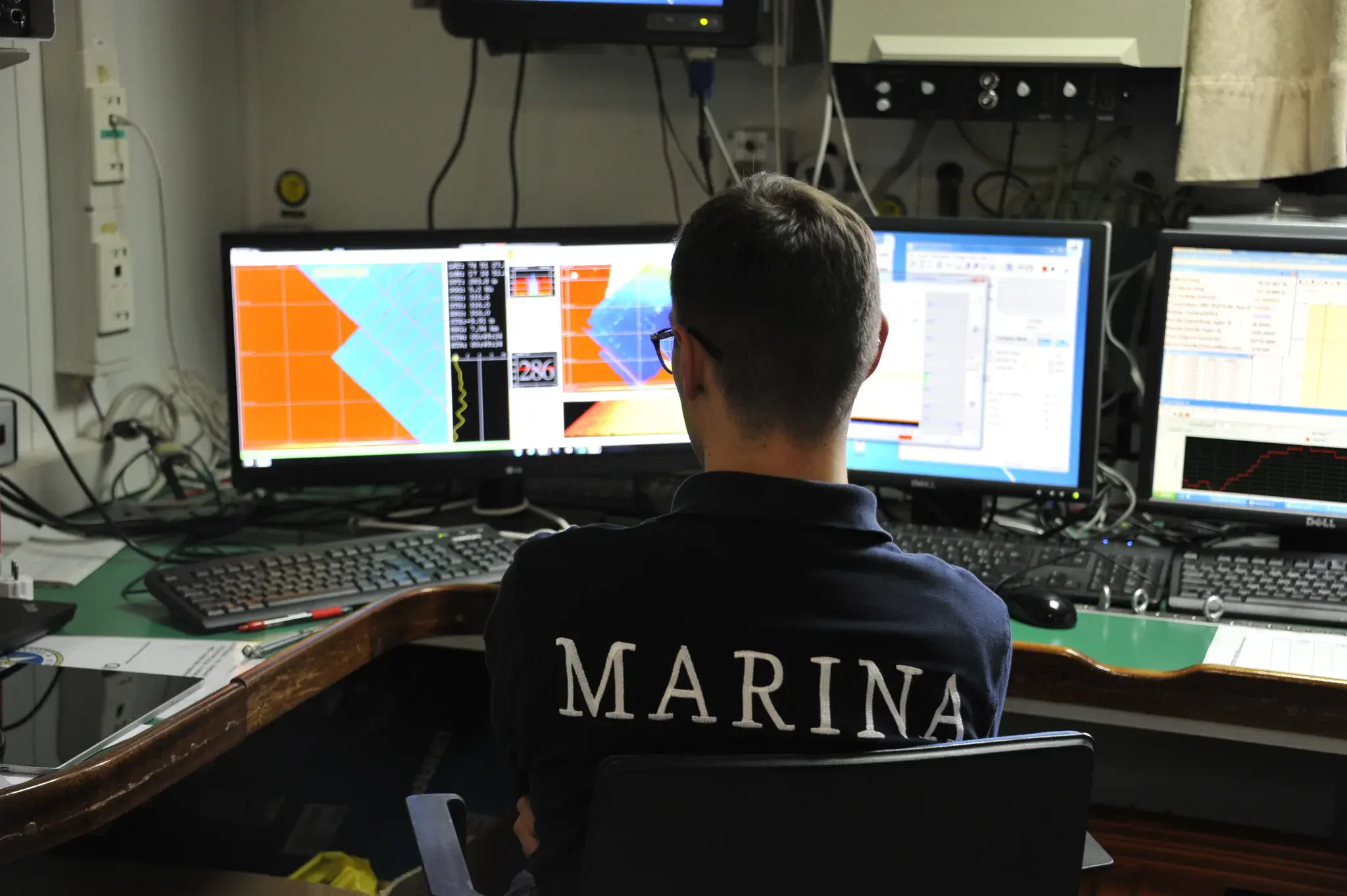
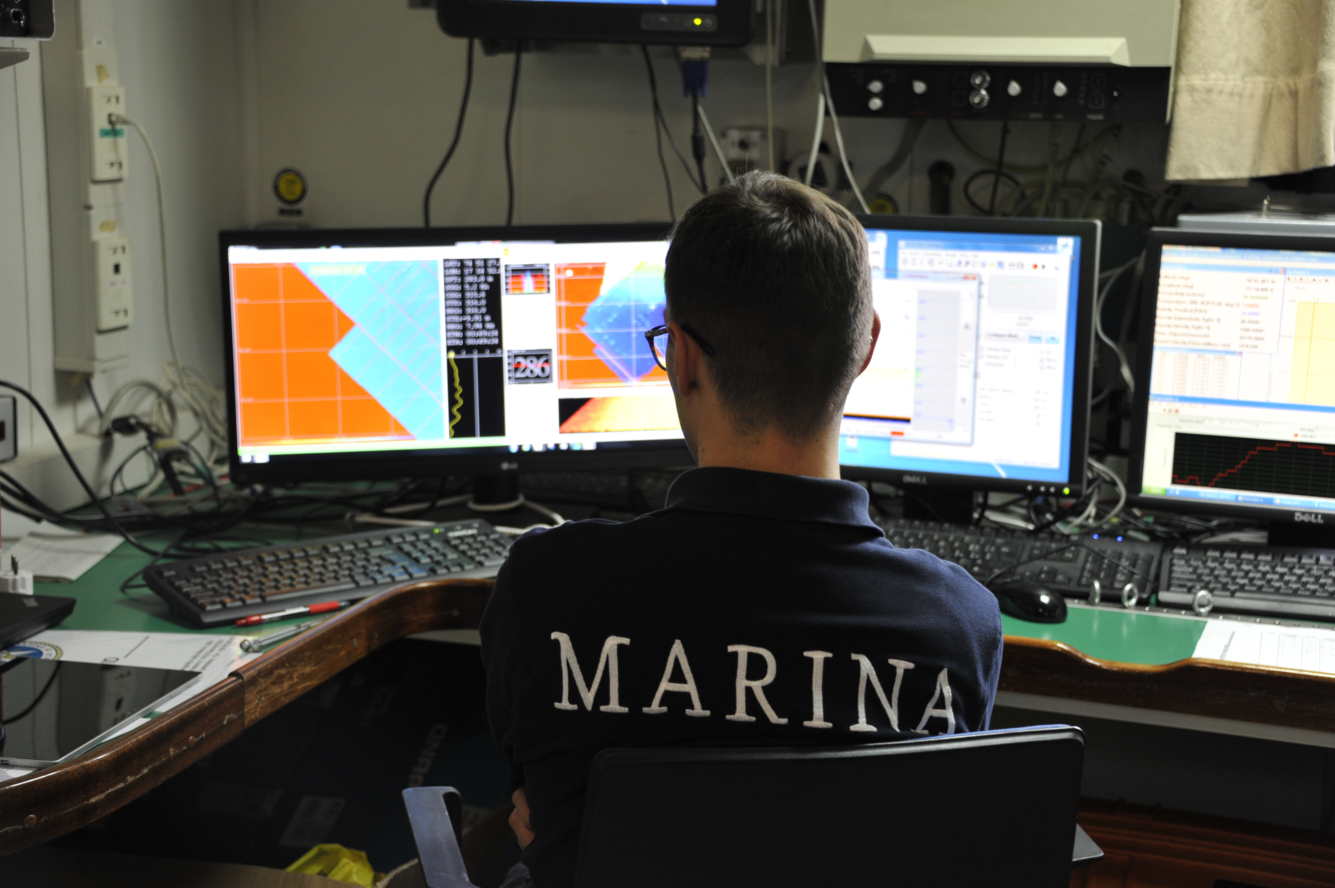
Kveithola Trough (Southern Svalbard), acquisition of 3D acoustic data with multi beam echo sounder
Kveithola Trough (Southern Svalbard), acquisition of 3D acoustic data with multi beam echo sounder. 3D mapping is a useful tool for geophysical researches applied to climatic changes, environmental protection, socio-economic developments and maritime security.
Categories
Location
- Polar regions (199)
- Arctic (78)
- Exact location (17.2266 E, 74.5550 N)
Tags
Colours
Image properties
4256 × 2832 px;
image/jpeg; 5.1 MB
Camera:
Nikon D700
Taken on 20
July
2017
Submitted on 15 February 2018
Licence
Creative Commons Attribution 3.0 Unported (CC BY 3.0)
Credit
Domenico Favuzzi (distributed via imaggeo.egu.eu)
Share
Appreciate
Report