

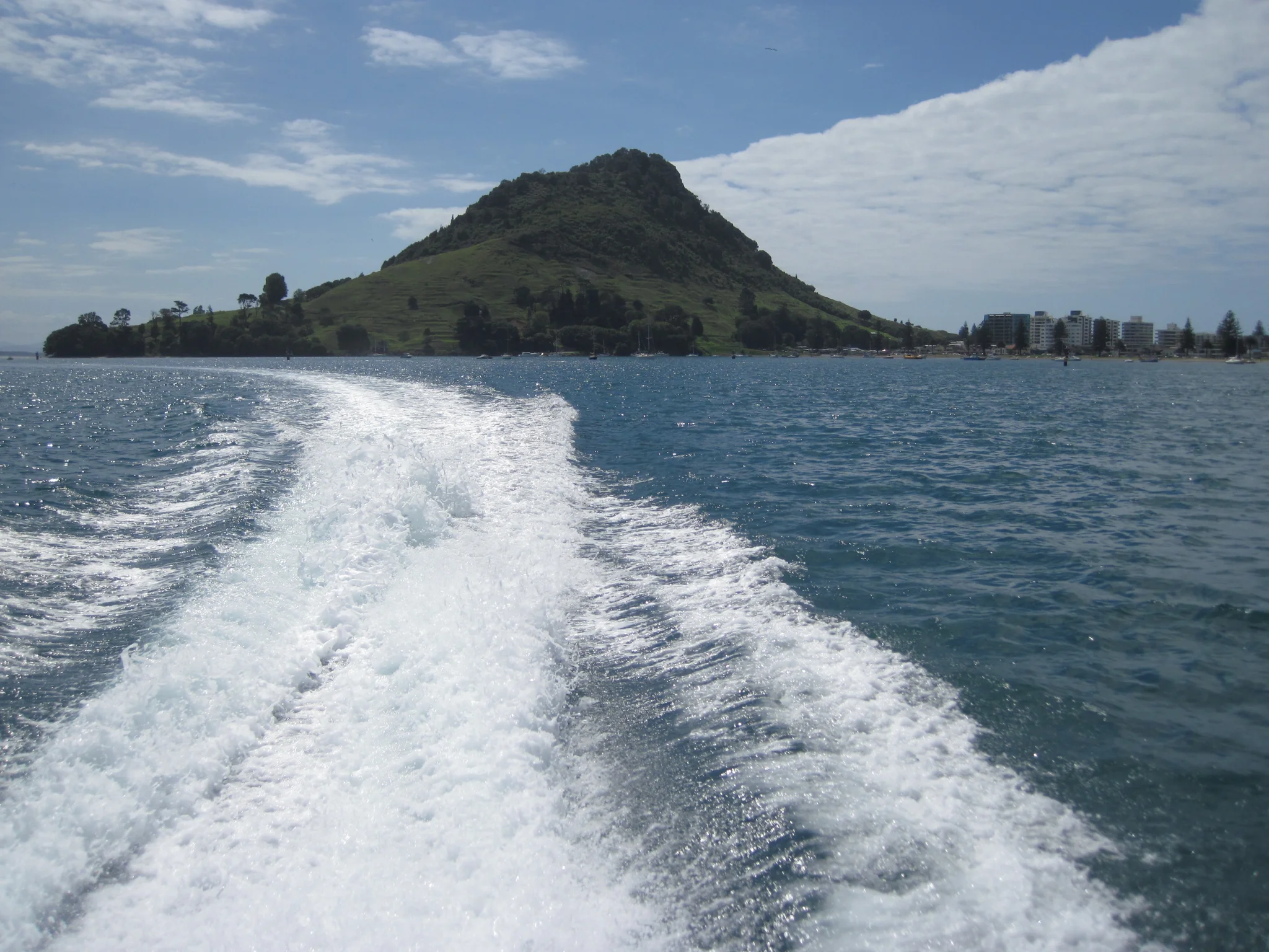
Mt Manganuii , Bay of Plenty, Northeastern New Zealand

Firoz Kadar Badesab
University of Bremen, Germany, Earth sciences, Germany
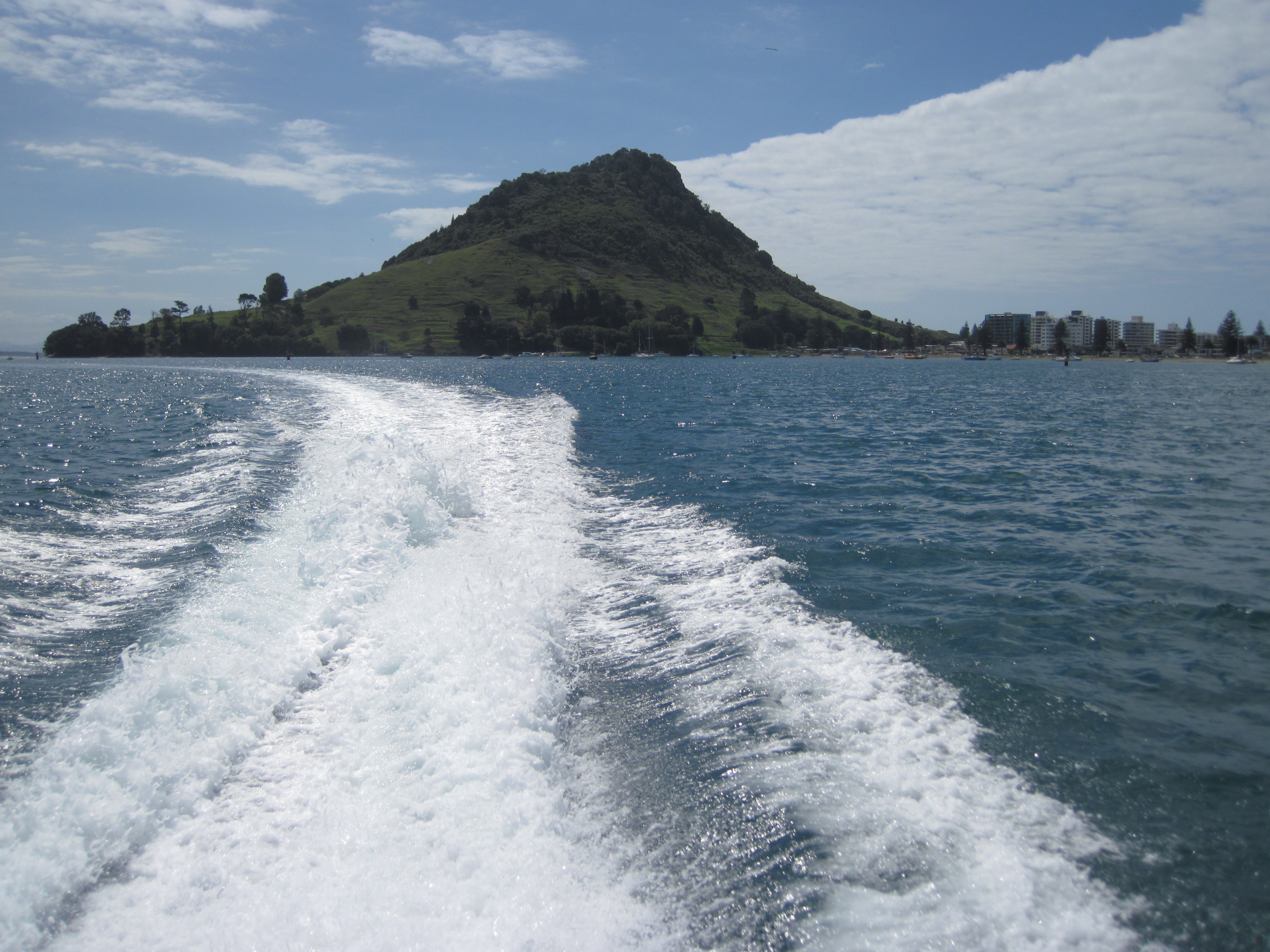
Mt Maunganui at the entrance of Tauranga Harbour, is a large lava dome formed by the upwelling of rhyolite lava about two to three million years ago. The urban area in the foreground occupies a narrow neck of dune sand called a tombolo that linked Mt Maunganui to the mainland several thousand years ago after sea level rose to its present height.
Categories
Location
Reuse
Creative Commons Attribution-NonCommercial-ShareAlike 3.0 Unported (CC BY-NC-SA 3.0) (opens in a new window)Credit: Firoz Kadar Badesab (distributed via imaggeo.egu.eu)
Properties
Type
Image
Format
JPG
Size
1.8 MB
Aspect
4:3
Width
3264 px
Height
2448 px
Brand
Sony
Model
Cyber-Shot 12.1 Mega Pixels
Exposure
6 mm f/8 1/640 s ISO 80
Tint
Light bluish gray
Published
21 February 2011
Taken
22 February 2010




Comments
No comments yet. Be the first to share your thoughts.