And the sea became mountain
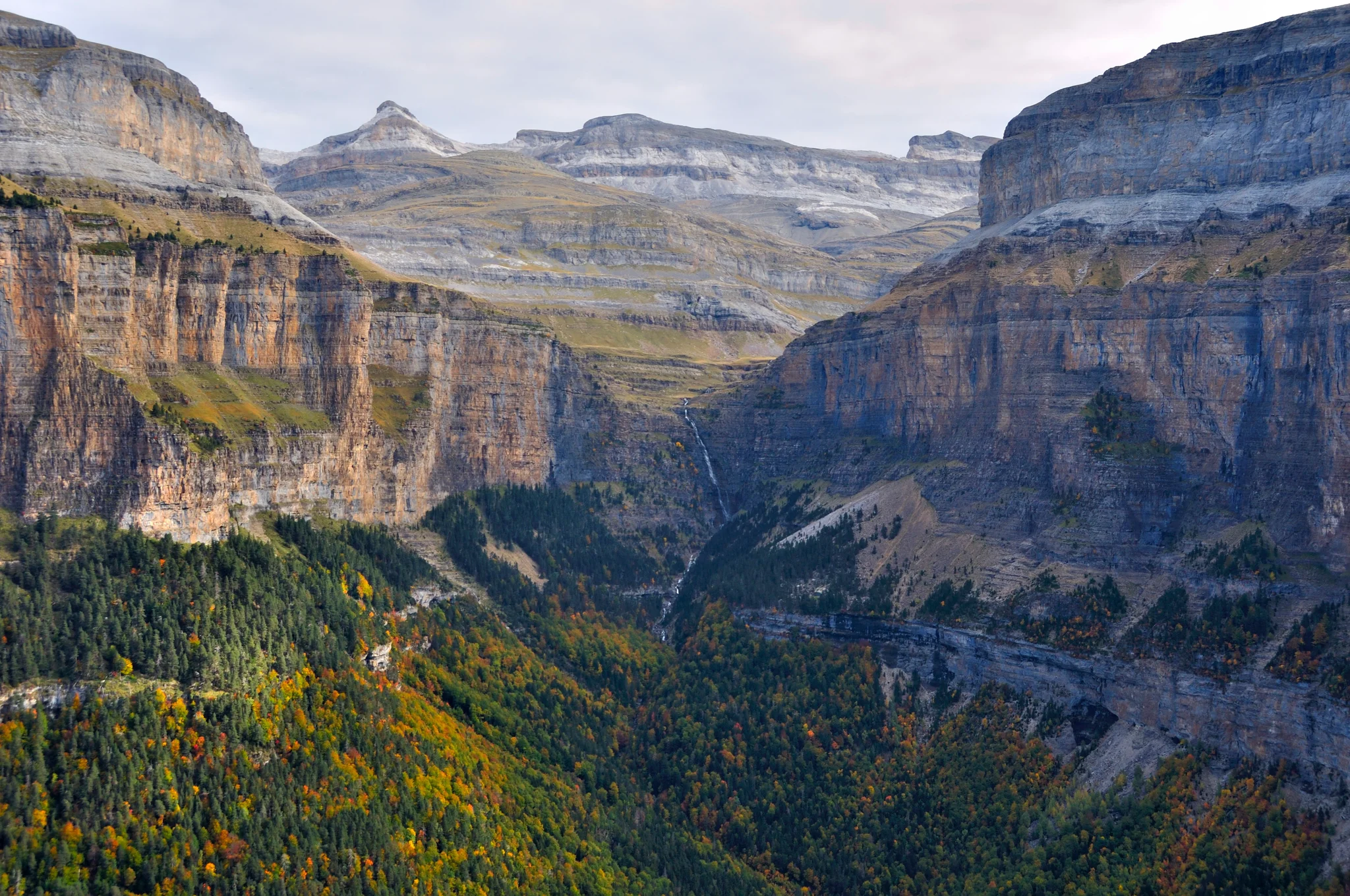
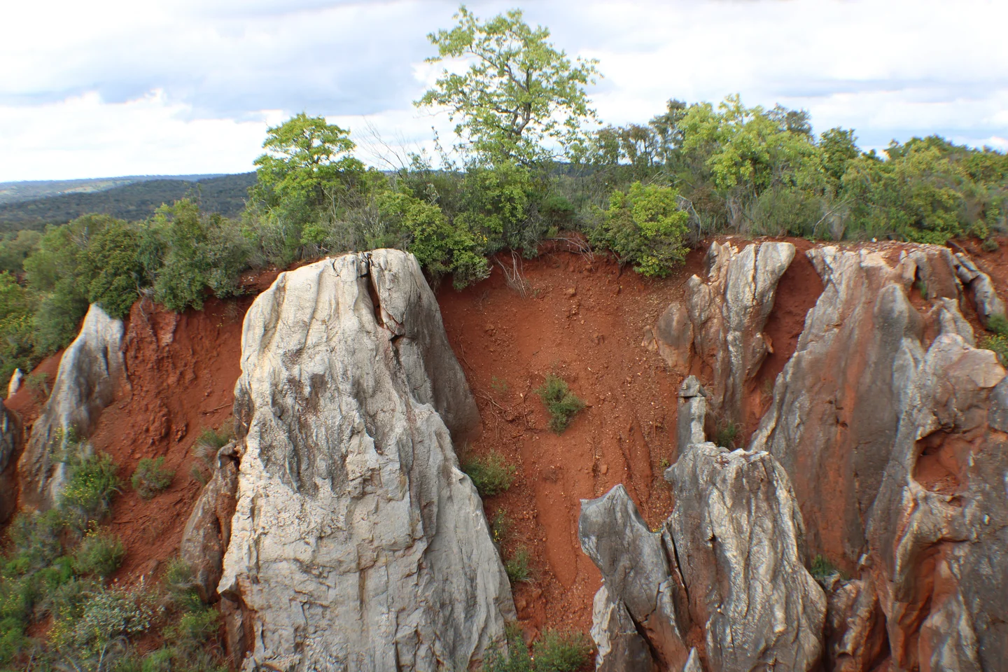
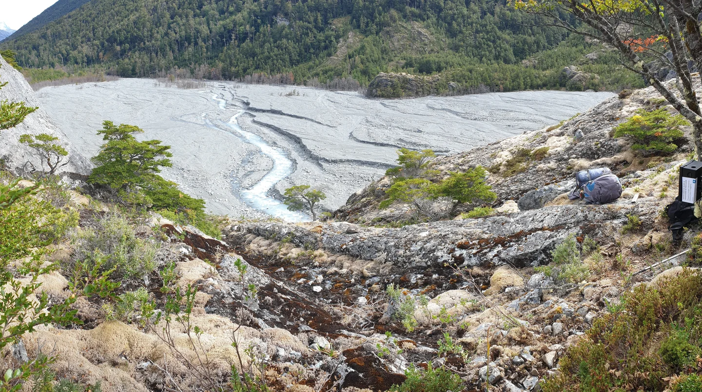
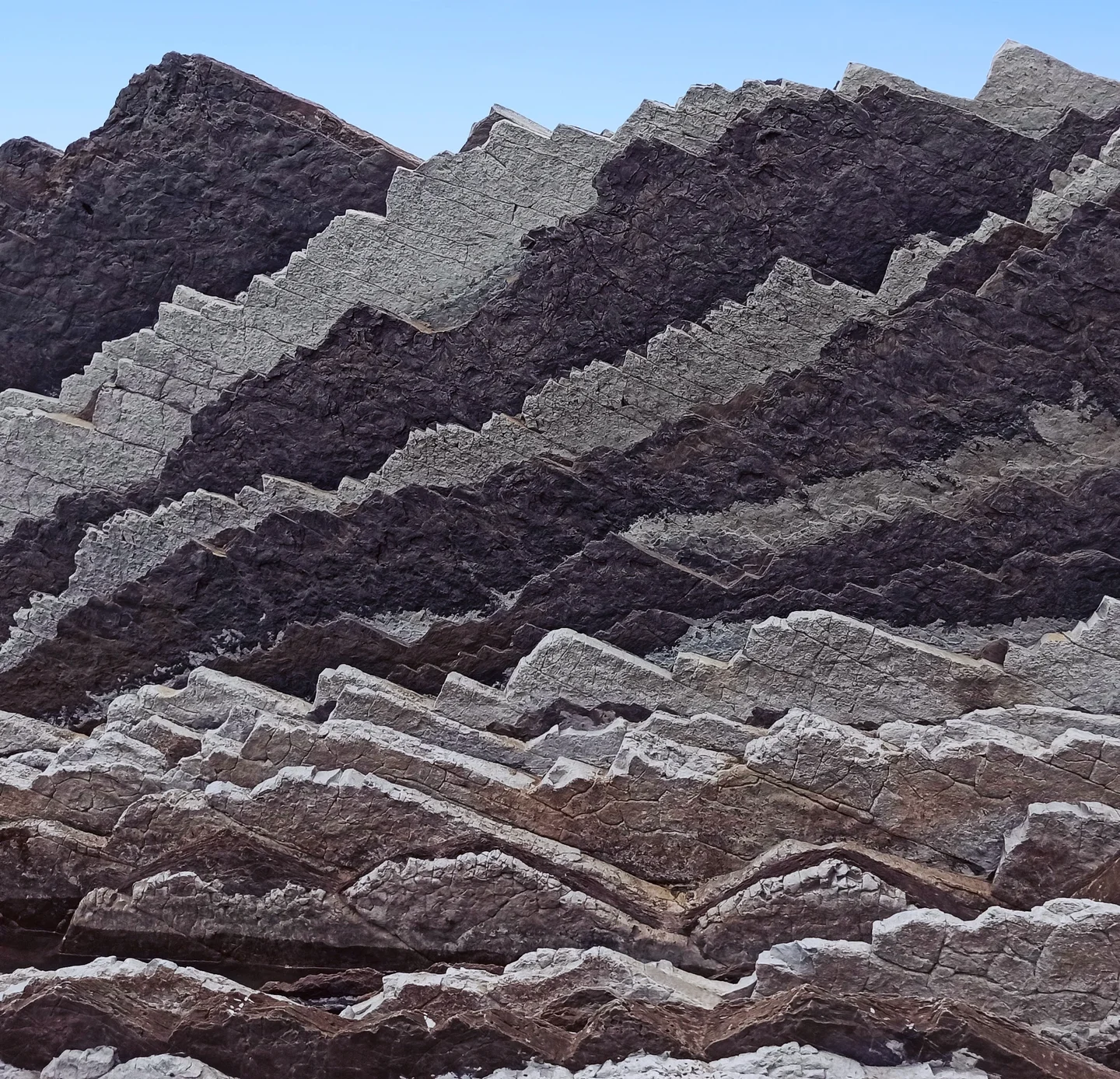
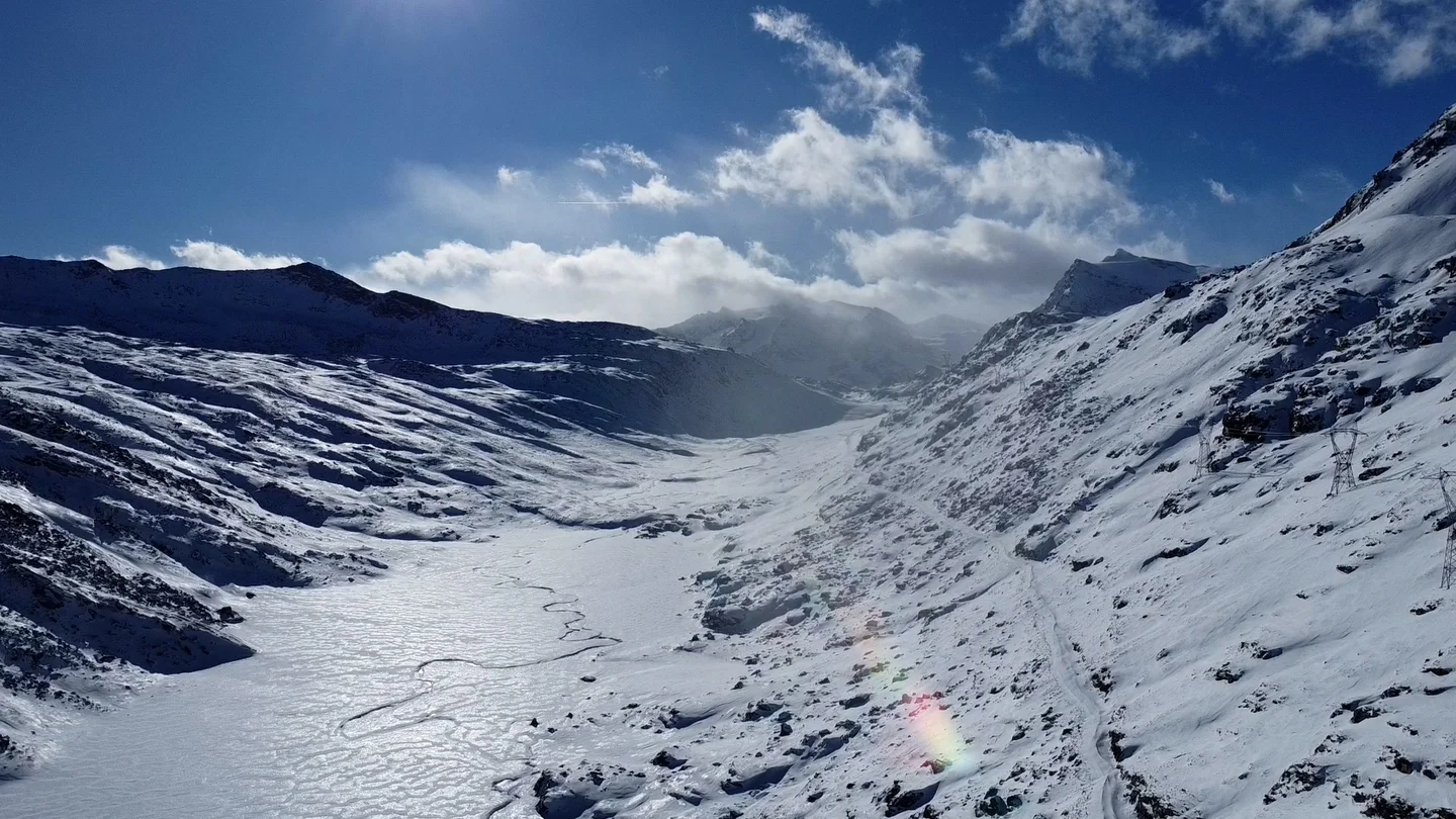
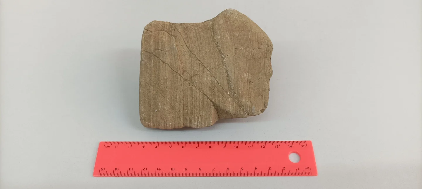
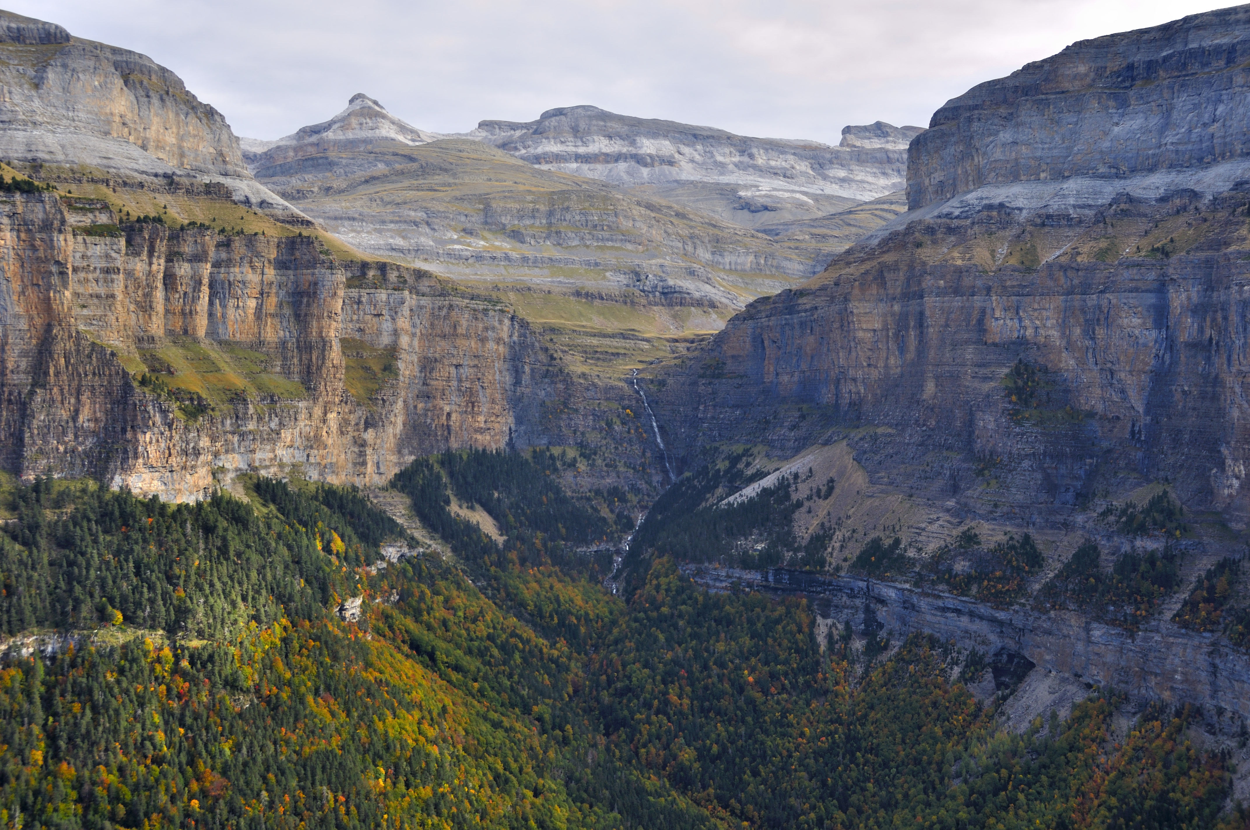
Over a long period of time during the Paleozoic, the territory that nowadays comprises the Ordesa National Park was the Tethys sea bed in which sands, silts and clays were deposited. These sediments resulted in the alternation of slate, sandstone, limestone and quartzite layers that can be observed today. Those rocks were intensively affected by the Hercynian Orogeny rising a gigantic mountain range that, afterwards, was severely affected by erosion almost verging on its complete disappearance. The resulting flat relief was later covered by a shallow tropical sea. Between 50 and 40 million years ago (Alpine Orogeny period), as the sea was getting narrower, sedimentation was happening at the bottom of the sea while on land, the Pyrenees were growing. Once the mountain range was formed and the sea had disappeared, large glaciers covered this valley during the ice ages modelling the landscape that we can appreciate nowadays. In this picture it can be observed the stratification of limestones and sandstones originated by the abovementioned processes and the 150 m tall Cotatuero Waterfall that falls from the Cotatuero hanging valley.
Categories
Tags
Reuse
Creative Commons Attribution-NonCommercial-NoDerivs 3.0 Unported (CC BY-NC-ND 3.0) (opens in a new window)Credit: Antonio Girona-García (distributed via imaggeo.egu.eu)
Comments
No comments yet. Be the first to share your thoughts.