

Find a new way

Romain Hemelsdael
CRPG, Nancy, France
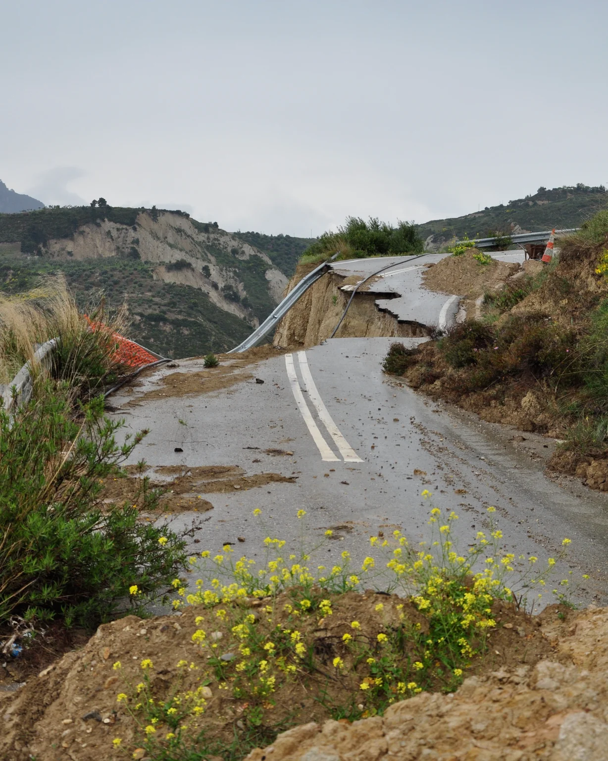
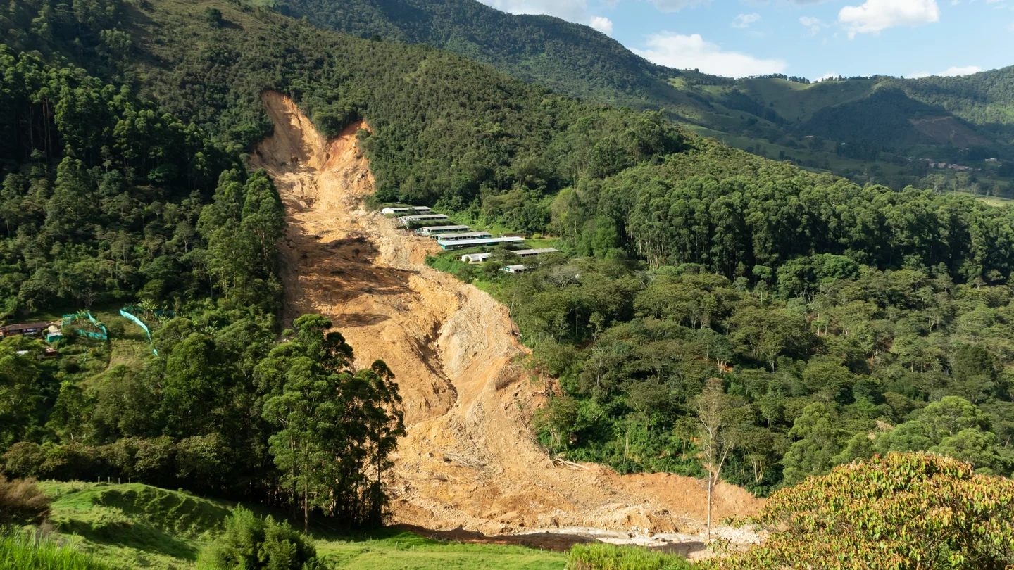
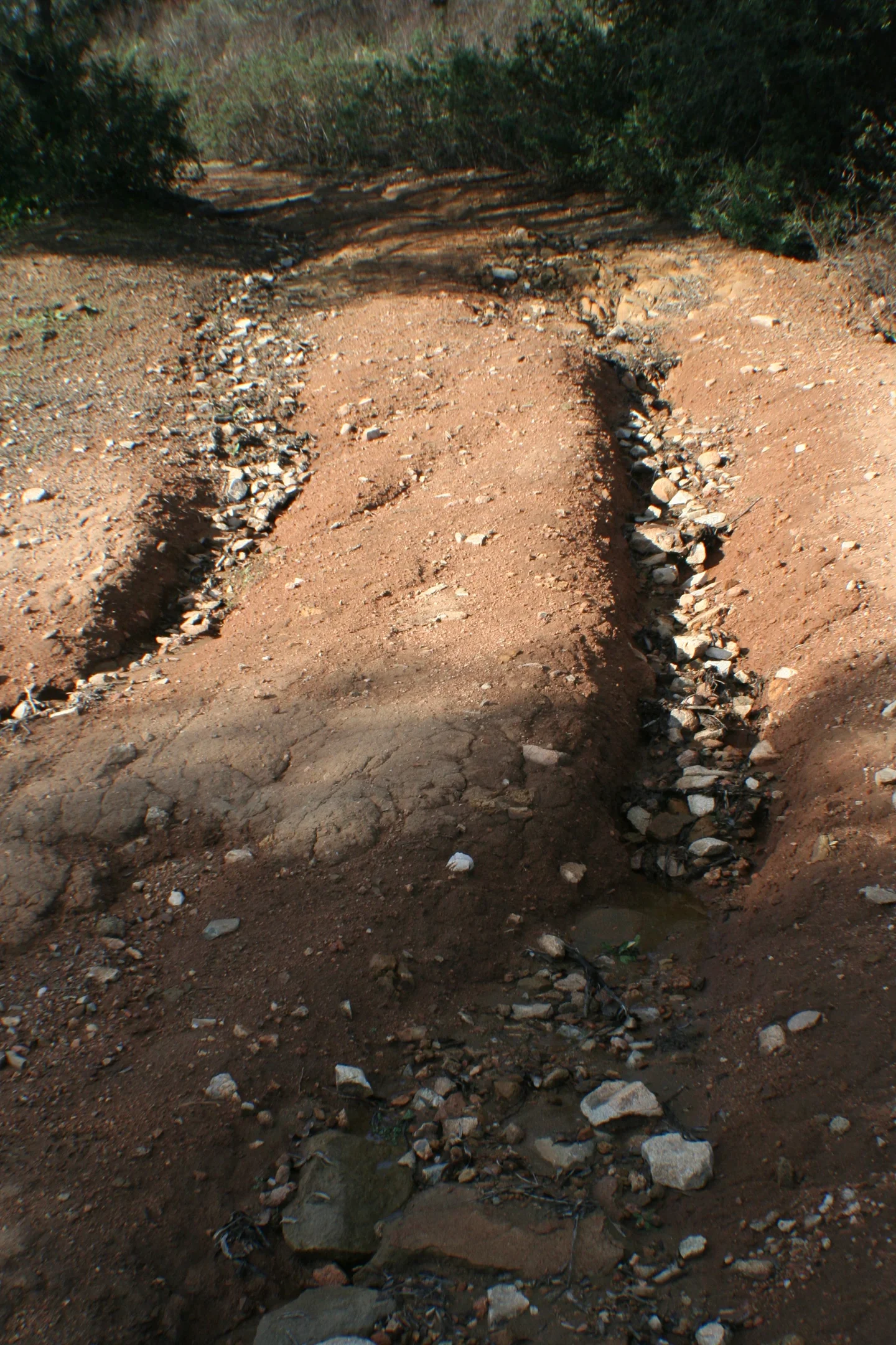
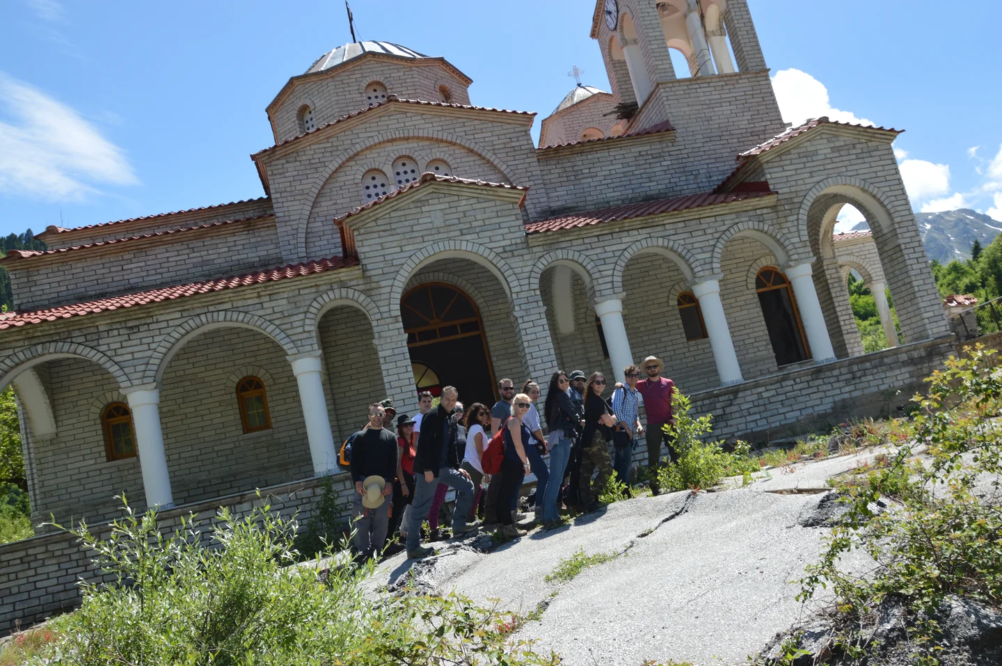
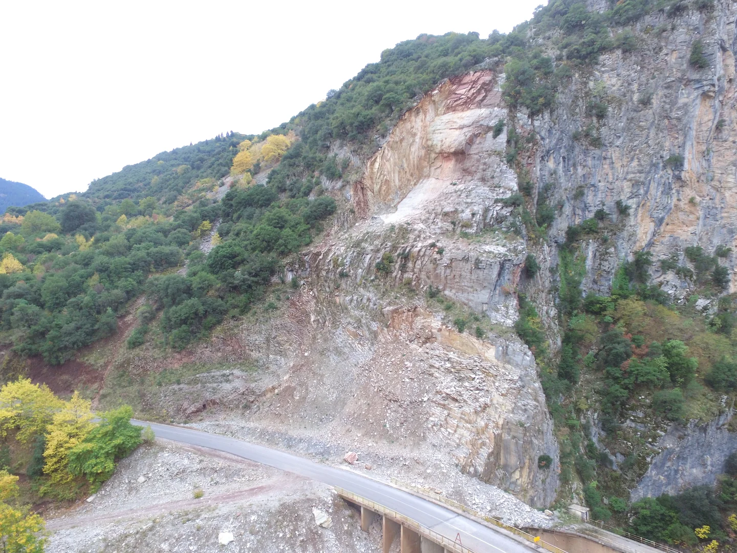
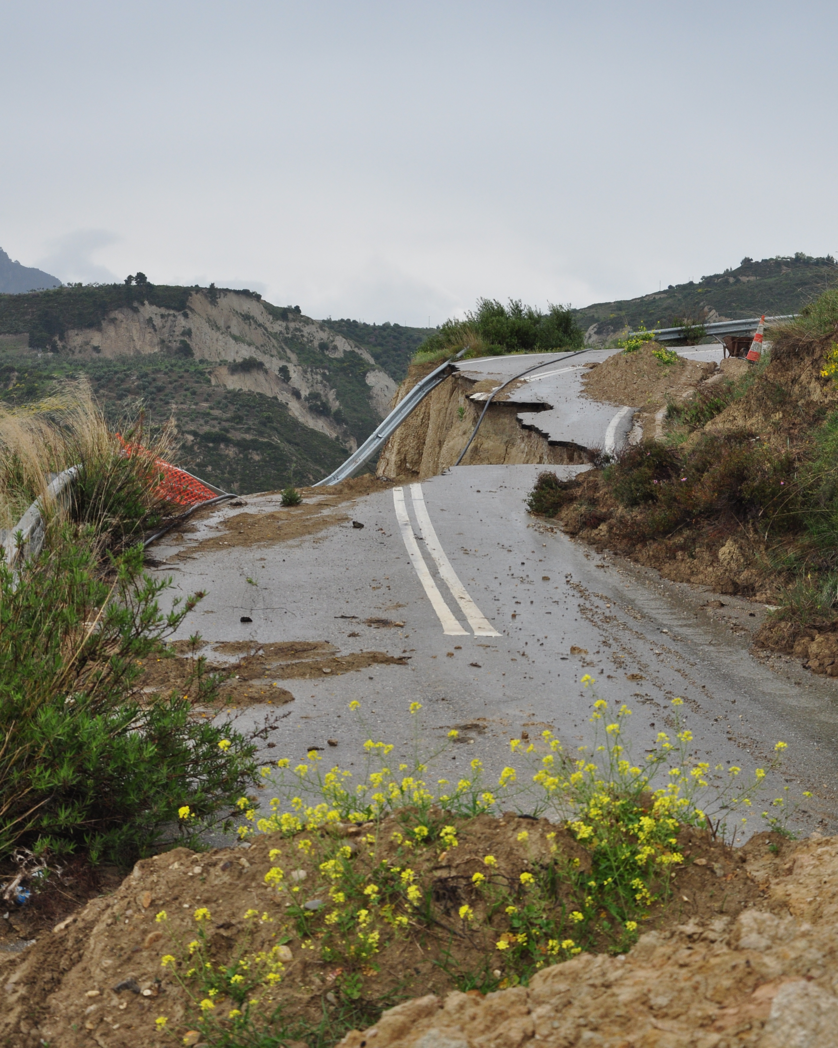
Road collapse in the northern Peloponnese, along the southern margin of the Corinth rift (Greece). The road was constructed directed on poorly consolidated silts of the Ladopotamos Formation. Up the hill, a temporary track currently replaces the road but still within an active landslide. The road leads to a small village called 'Lithopetra'.
Featured on GeoLog, the official blog of the European Geosciences Union (opens in a new window)
Category
Reuse
Creative Commons Attribution-ShareAlike 3.0 Unported (CC BY-SA 3.0) (opens in a new window)Credit: Romain Hemelsdael (distributed via imaggeo.egu.eu)
Properties
Type
Image
Format
JPG
Size
3.2 MB
Aspect
2843:3555
Width
2843 px
Height
3555 px
Brand
Nikon
Model
D5000
Exposure
40 mm f/8 1/400 s ISO 400
Coordinates
38.1326, 22.3319
Tint
Light bluish gray
Submitted
27 February 2016
Taken
28 April 2012



Comments
No comments yet. Be the first to share your thoughts.