

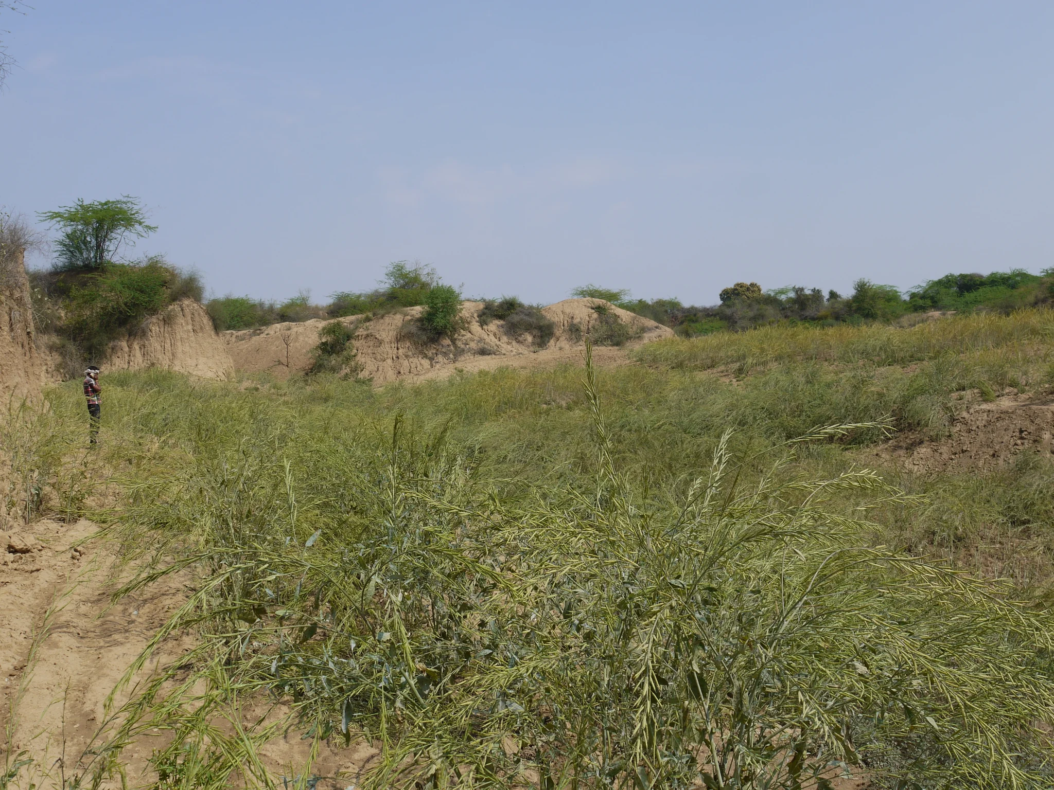
Turning badlands into fields

Irene Marzolff
Dep. of Physical Geography, Goethe University, Frankfurt am Main, Germany
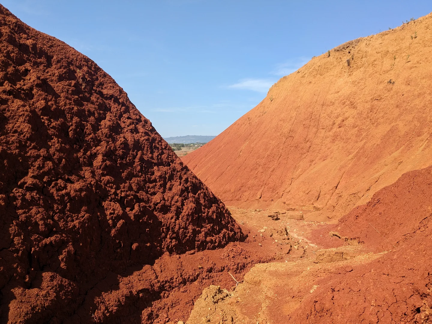
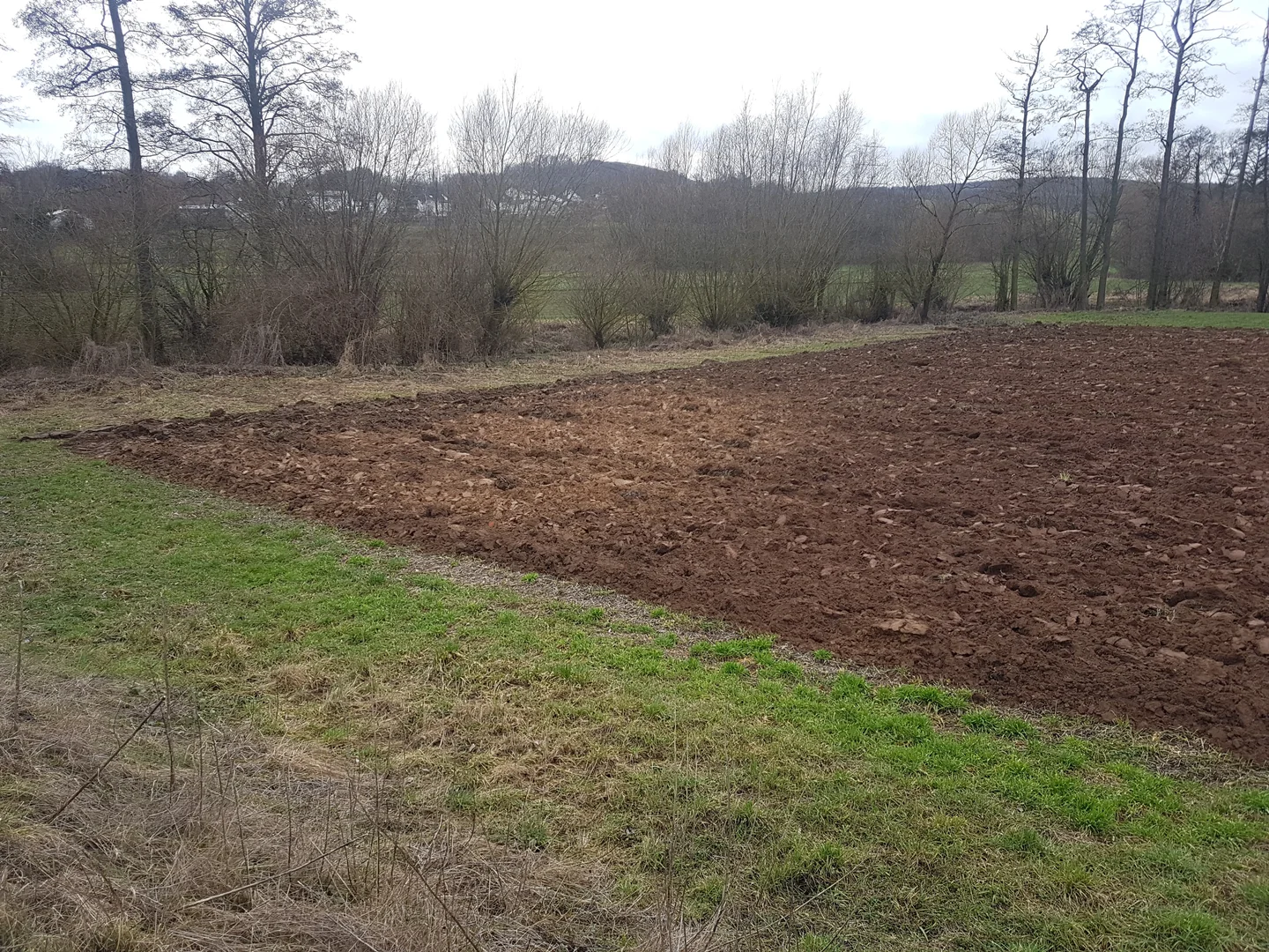
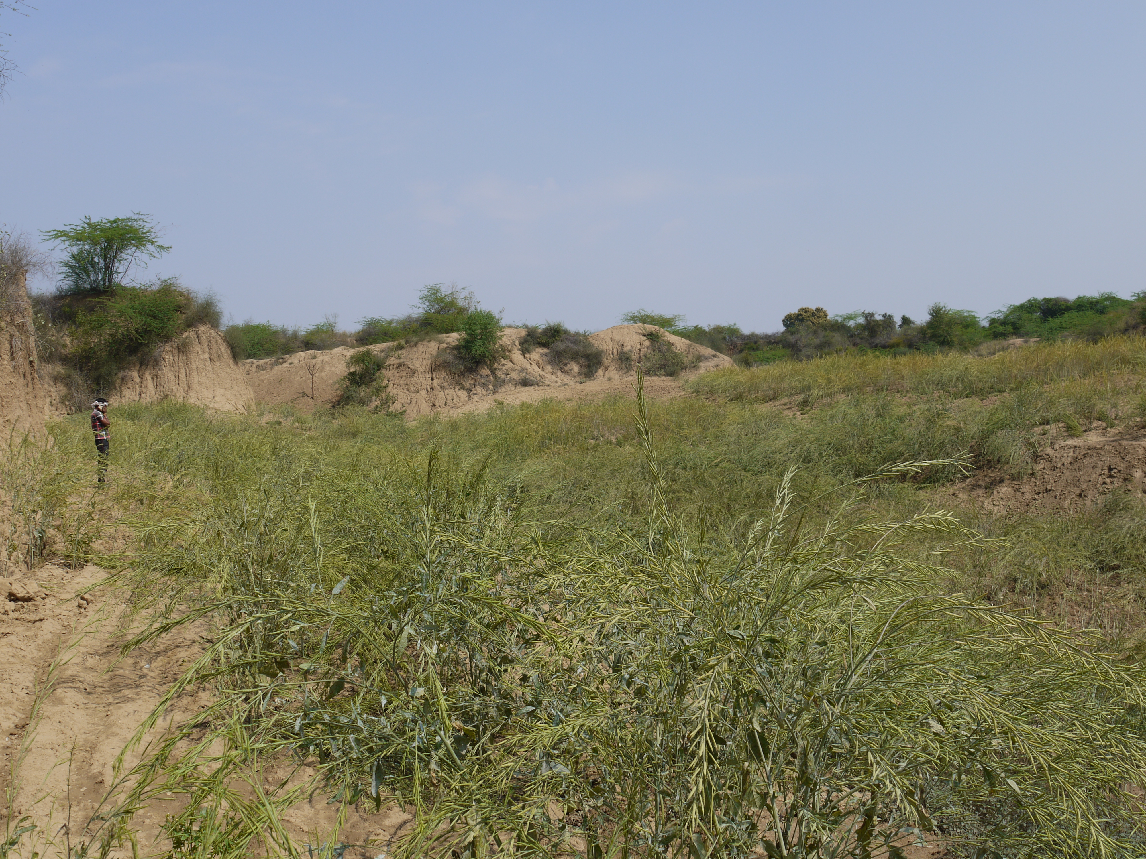
This mustard field in the Lower Chambal Valley, India, was once a deeply dissected badland. A sub-catchment of the main ravine system was levelled with bulldozers by successive removal of ridgetops, oversteepening of side-slopes and infilling of ravine bottoms. The topography of the reclaimed field is uneven with lower parts remaining in the old thalweg positions; farmers expect eroded soil to accumulate here and increase soil fertility over the next years.
Categories
Reuse
Creative Commons Attribution-NoDerivs 3.0 Unported (CC BY-ND 3.0) (opens in a new window)Credit: Irene Marzolff (distributed via imaggeo.egu.eu)
Properties
Type
Image
Format
JPG
Size
5.7 MB
Aspect
4:3
Width
4000 px
Height
3000 px
Brand
Panasonic
Model
DMC-GF1
Exposure
18 mm f/8 1/400 s ISO 100
Coordinates
26.5000, 77.7500
Tint
Very light purplish blue
Published
22 April 2015
Taken
4 March 2015

Comments
No comments yet. Be the first to share your thoughts.