

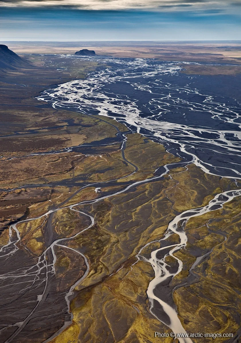
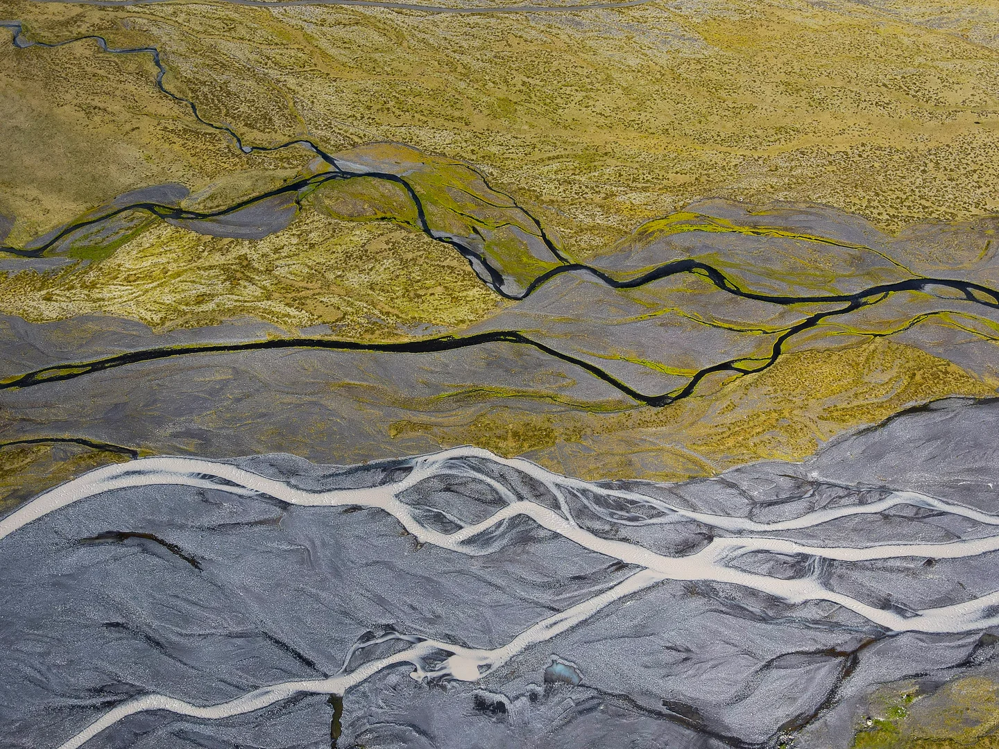
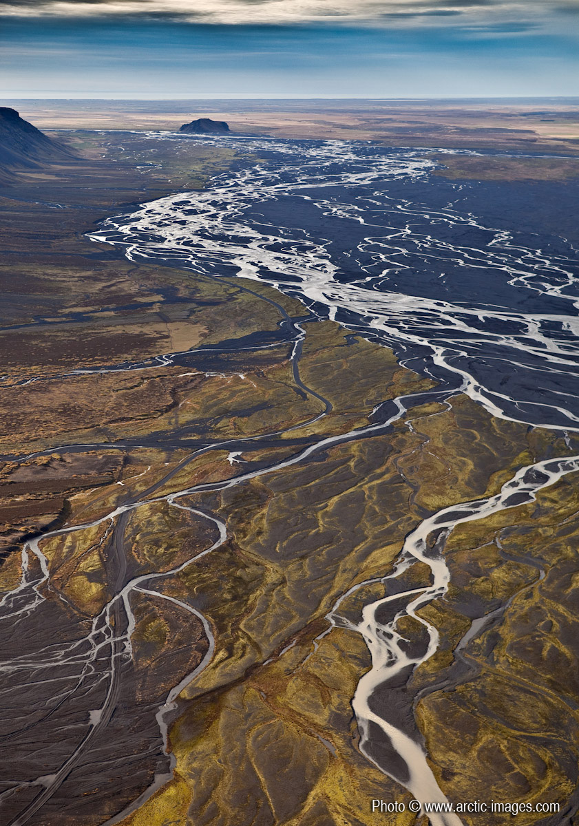
Markarfljotsaurar outwash plain, Southcoast, Iceland

Markarfljotsaurar - Before this vast alluvial plain was gradually created, a big and 250 m deep bay cut in between the mountains. Two freestanding hillocks, Stora- and Litla Dimon, were islands. Eyjafjallajokull erupted the last time in 1821-1823 and flooded the alluvial plain Markarfljotsaurar. Higher resolution images available from rth@arctic-images.com (there is a licensing fee depending on the use).
Categories
Tag
Reuse
Creative Commons Attribution-NonCommercial-ShareAlike 3.0 Unported (CC BY-NC-SA 3.0) (opens in a new window)Credit: Ragnar Sigurdsson (arctic-images.com) (distributed via imaggeo.egu.eu)
Properties
Type
Image
Format
JPG
Size
513.5 KB
Aspect
841:1200
Width
841 px
Height
1200 px
Exposure
65 mm f/4.5 1/640 s ISO 200
Coordinates
63.6667, -19.1000
Tint
Grayish purplish blue
Published
10 January 2010
Comments
No comments yet. Be the first to share your thoughts.