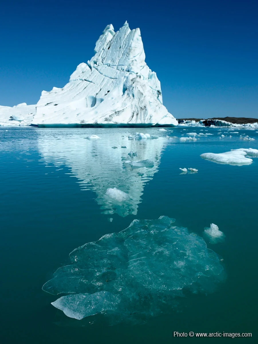
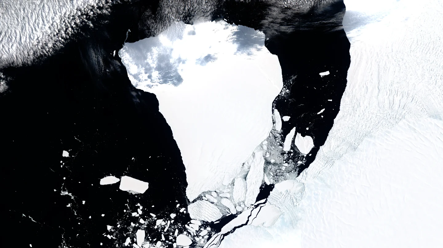
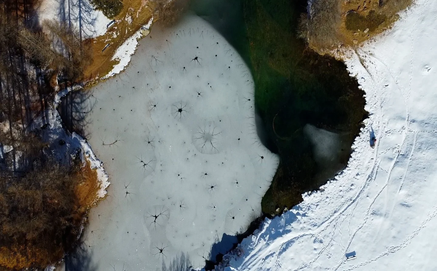
Icebergs floating in the Jokulsarlon Glacial Lagoon, Vatnajokull Ice Cap, Iceland
By 1900, the Breidamerkurjokull outlet glacier almost reached into the ocean at the south coast. It had advanced since late medieval times and covered a fertile agricultural community with river sediments and creeping glacial ice. Around 1920, the glacier started to retreat and the southernmost parts of Jokulsarlon glacier lagoon became visible in 1934. By 1975, the lagoon area was about 8 sq. km but is now well above 20 sq. km. It grows fast in size because the glacier shortens annually by up to 200 m. Radiowave echo soundings indicate that if the ocean breaches the land barrier between the lake and the sea, and if the glacier retreat continues for a long time, a 25-km-long fjord will emerge where we now have the eastern parts of Breidamerkurjokull. Higher resolution images available from rth@arctic-images.com. There is a licensing fee depending on the use of the image.
Categories
Tag
Reuse
Creative Commons Attribution-NonCommercial-ShareAlike 3.0 Unported (CC BY-NC-SA 3.0) (opens in a new window)Credit: Ragnar Sigurdsson (arctic-images.com) (distributed via imaggeo.egu.eu)
Comments
No comments yet. Be the first to share your thoughts.