

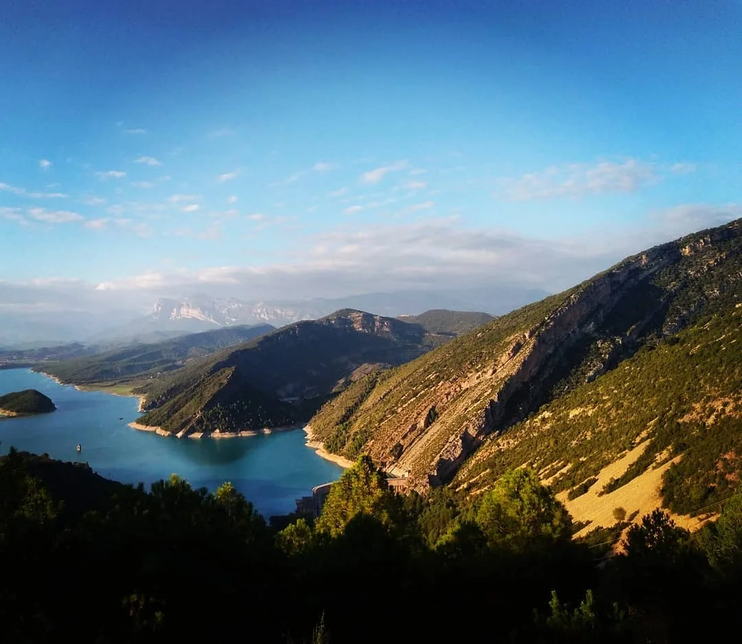
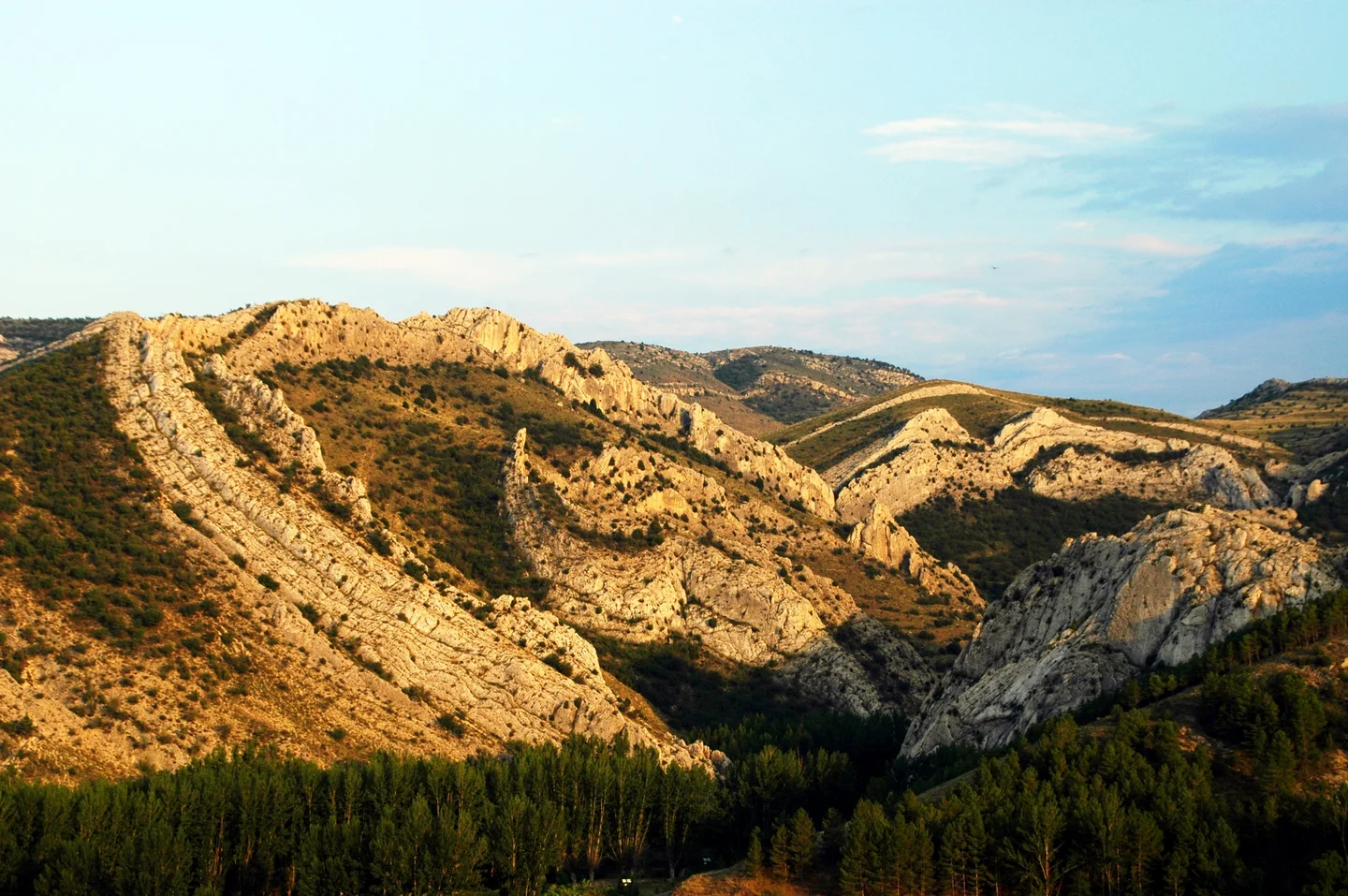
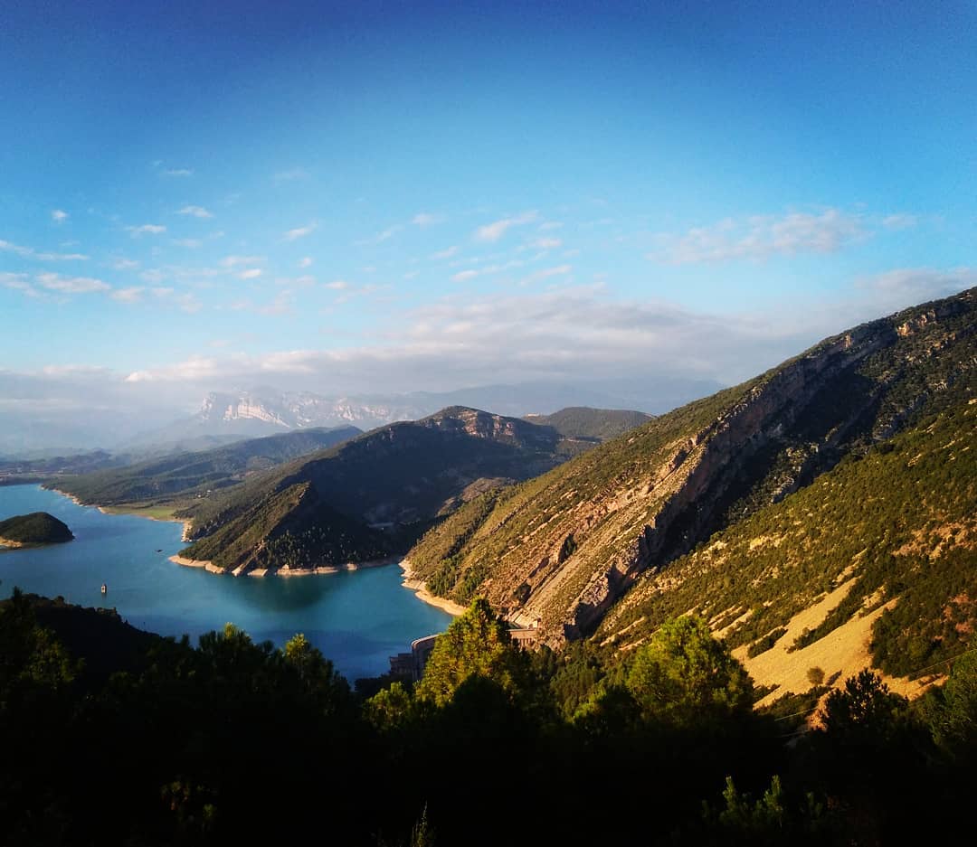
Mediano anticline, Ainsa Basin

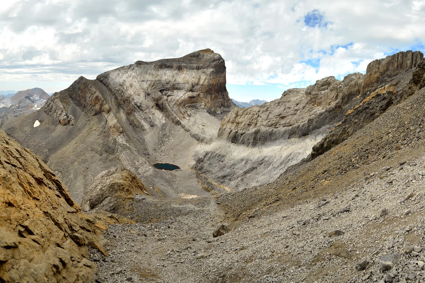
A view of the Mediano anticline, the easternmost boundary of the Ainsa foreland basin. This photo was taken from "Las Ermitas de Samitier hill", a classical spot that attracts hundreds of geologists every years. The anticline, plunging towards the north is one of the structures related to the thrust-related lateral ramp zone which controlled the evolution of the Ainsa basin.
Category
Reuse
Creative Commons Attribution 3.0 Unported (CC BY 3.0) (opens in a new window)Credit: Pablo Rodríguez Salgado (distributed via imaggeo.egu.eu)
Properties
Type
Image
Format
JPG
Size
84.7 KB
Aspect
1080:937
Width
1080 px
Height
937 px
Coordinates
42.3034, 0.2127
Tint
Black
Published
15 February 2019
Comments
No comments yet. Be the first to share your thoughts.