

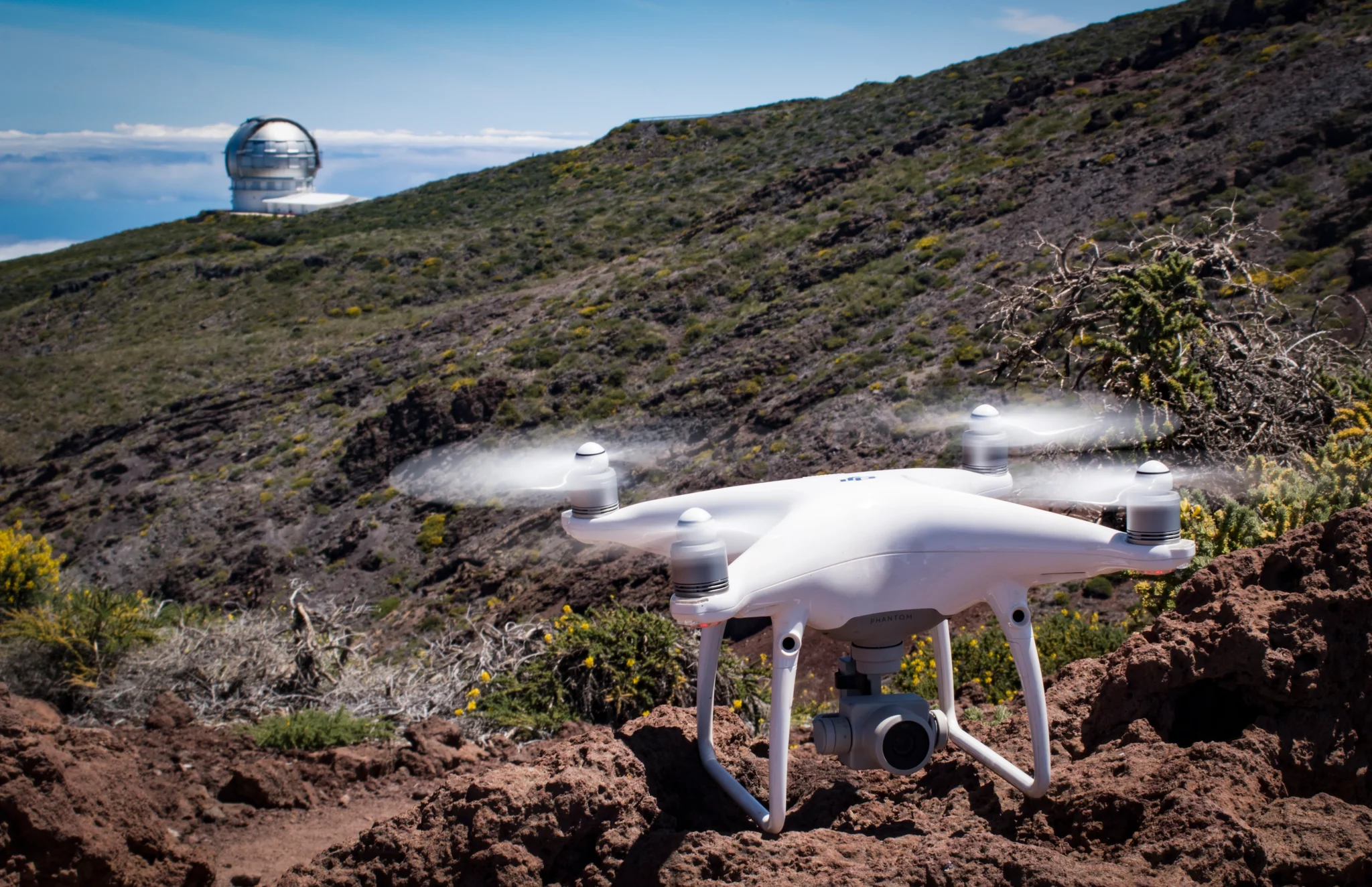
Between Earth and Space

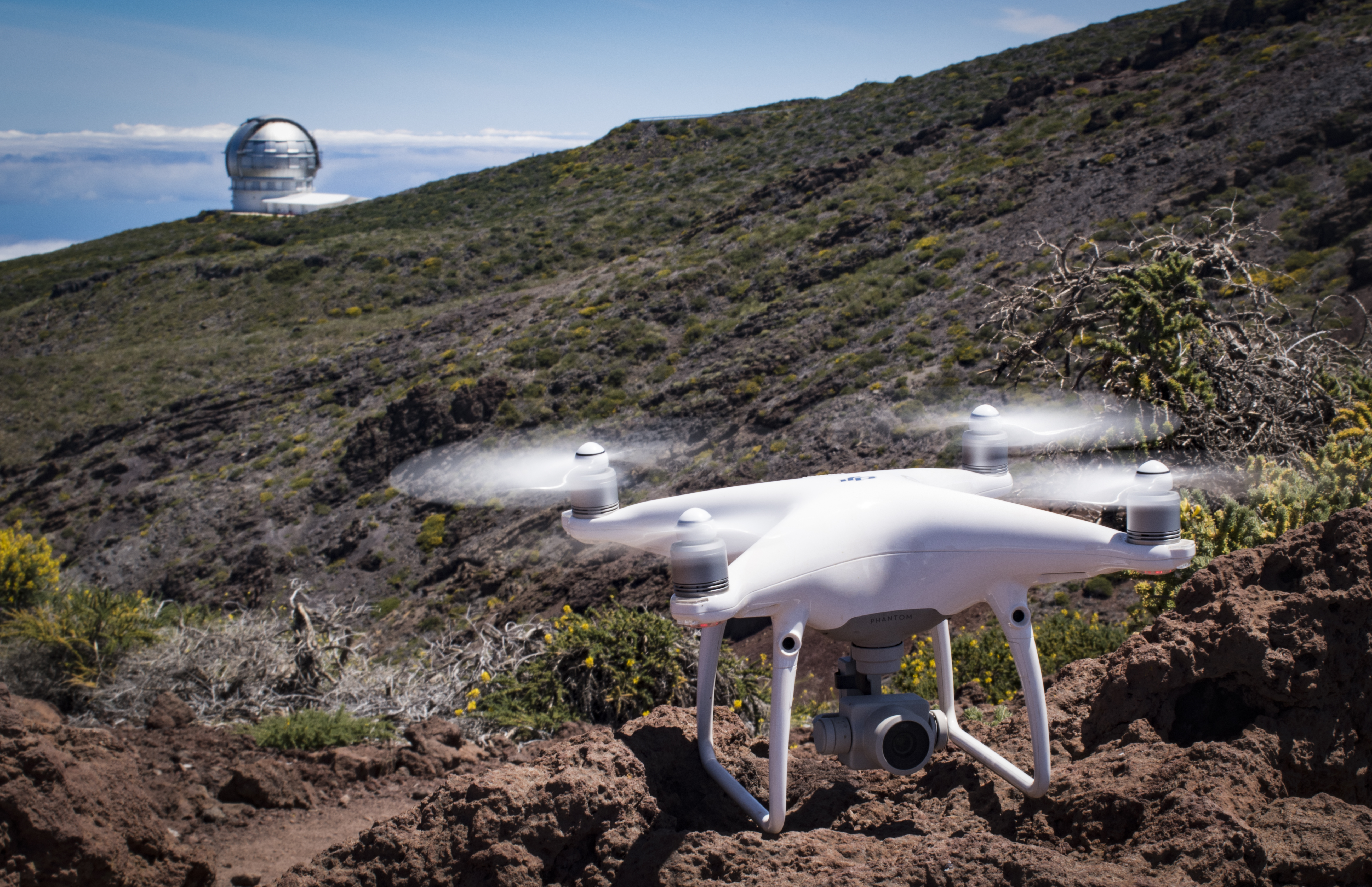
Drones are an important tool in the geosciences because they allow safe access to dangerous terrain and fill an important resolution gap between field and satellite datasets. This drone is about to take-off from the Roque de los Muchachos observatory (La Palma, Canary Islands) and survey cliff faces above Caldera Taburiente.
Tags
Reuse
Creative Commons Attribution 3.0 Unported (CC BY 3.0) (opens in a new window)Credit: Sam Thiele (distributed via imaggeo.egu.eu)
Properties
Type
Image
Format
JPG
Size
9.1 MB
Width
5248 px
Height
3394 px
Aspect
2624:1697
Brand
Nikon
Model
D5500
Exposure
38 mm f/25 1/13 s ISO 100
Software
Photoshop
Taken
27 May 2017
Coordinates
28.7463, -17.8963
Tint
Purplish black
Submitted
14 February 2019
Comments
No comments yet. Be the first to share your thoughts.