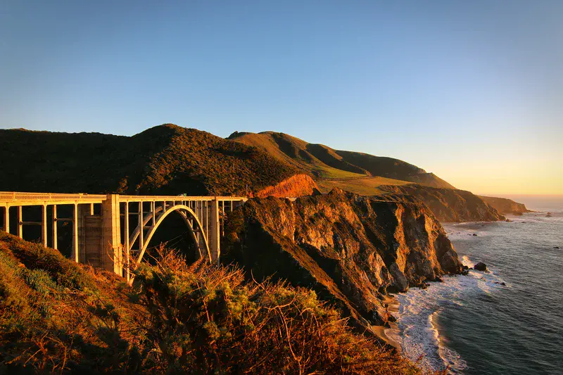
Sunset at Big Sur's Bixby Bridge, California
by Frederik Tack, Institute for Space Aeronomy, Brussels, Belgium
Big Sur is a rugged and mountainous section of the Central Coast of California between Carmel Highlands and San Simeon, where the Santa Lucia Mountains rise abruptly from the Pacific Ocean. It is frequently praised for its dramatic scenery. The Santa Lucia Mountain Range, which dominates the Big Sur region, is 140 miles (230 km) long, extending from Carmel in the north to the Cuyama River in San Luis Obispo County. The Santa Lucia Mountains are characterized by extremely steep slopes, all associated with watersheds flowing directly or indirectly into the Pacific Ocean. The range is of recent tectonic origin, and is rugged, steep and dissected by deep stream canyons. The general trend of the range is northwest-southeast, paralleling the numerous faults that transect the area.
The picture was taken during a trip after AGU fall meeting in San Francisco
Categories
Location
- North America (772)
- Northern America (1)
- Exact location (-121.9034 W, 36.3725 N)
Colours
Image properties
5472 × 3648 px;
image/jpeg; 17.9 MB
Camera:
Canon EOS 70D
Taken on 19
December
2016
Submitted on 8 February 2019
Licence
Creative Commons Attribution 3.0 Unported (CC BY 3.0)
Credit
Frederik Tack (distributed via imaggeo.egu.eu)
Share
Appreciate
Report