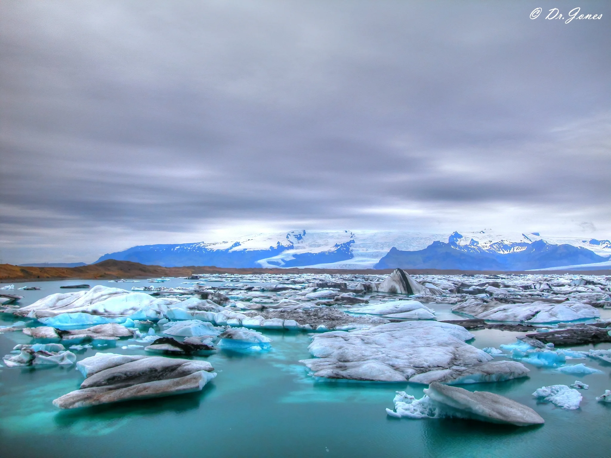
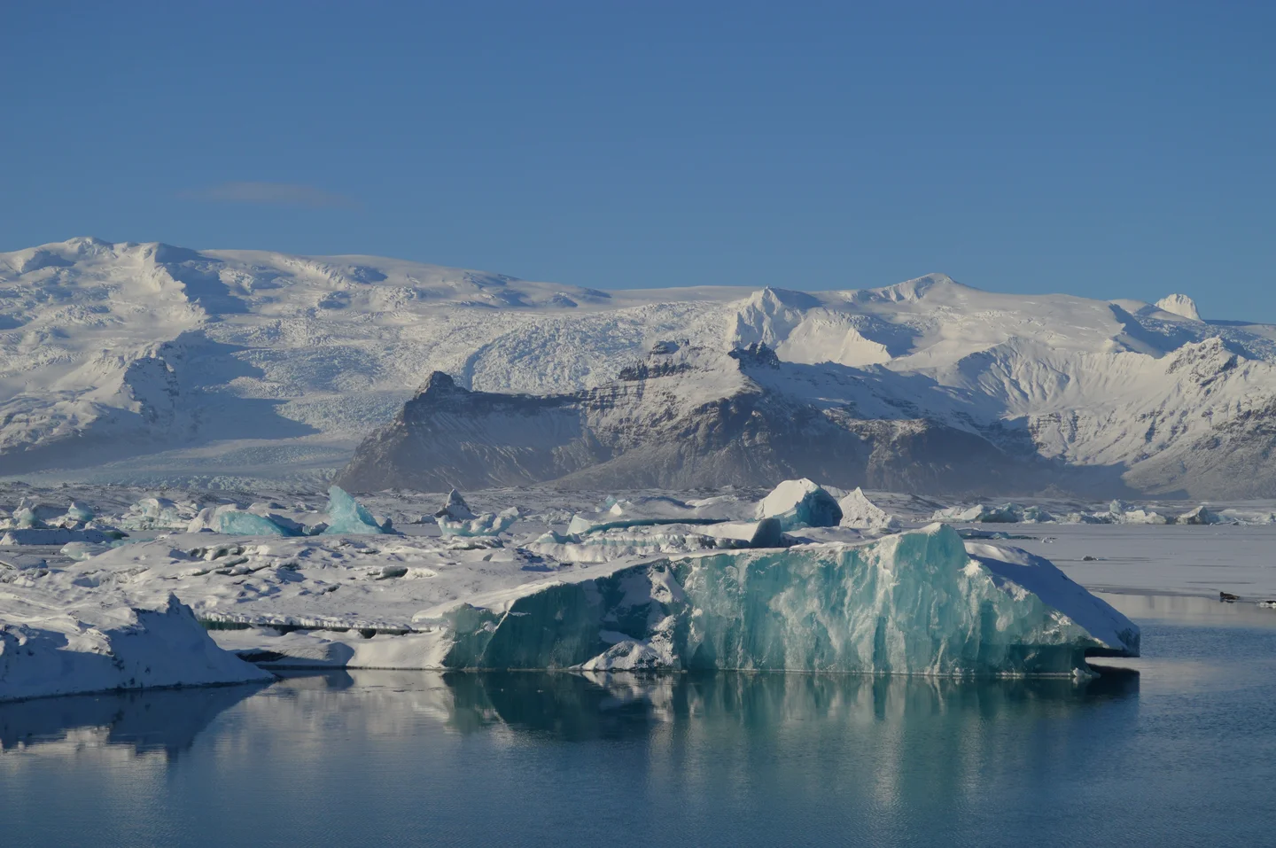
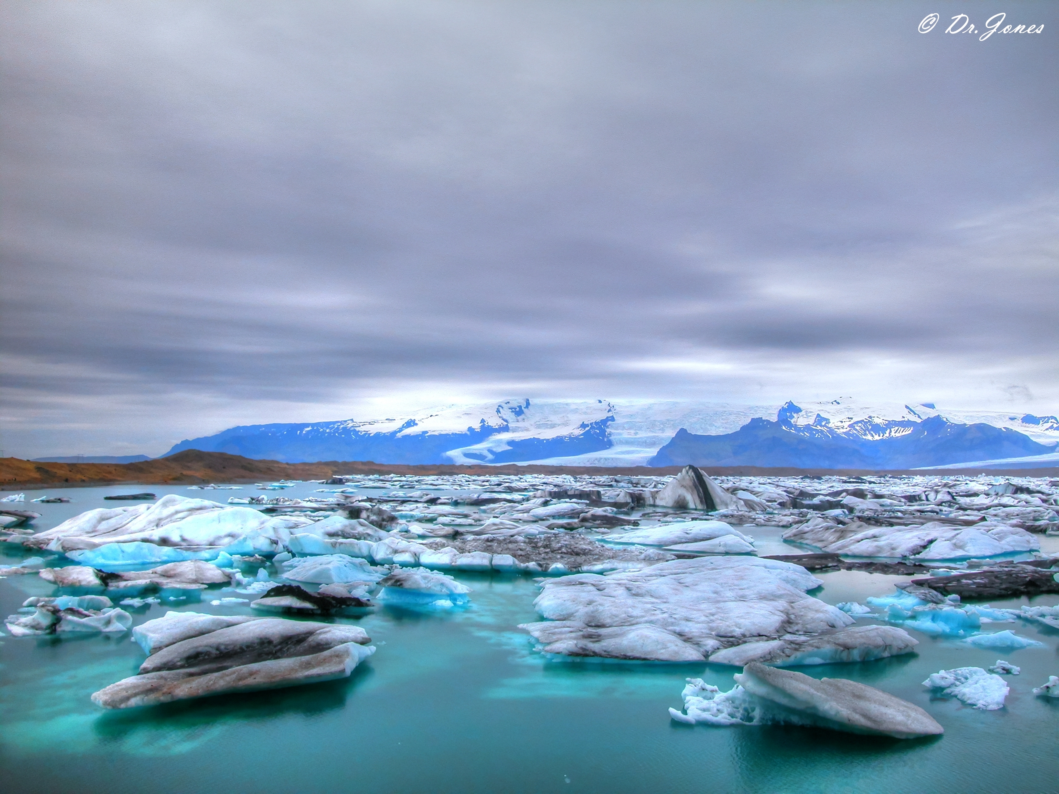
Jokulsarlon
The Icebergs and Jokulsa river formed the Jokulsarlon, Glacial Lagoon
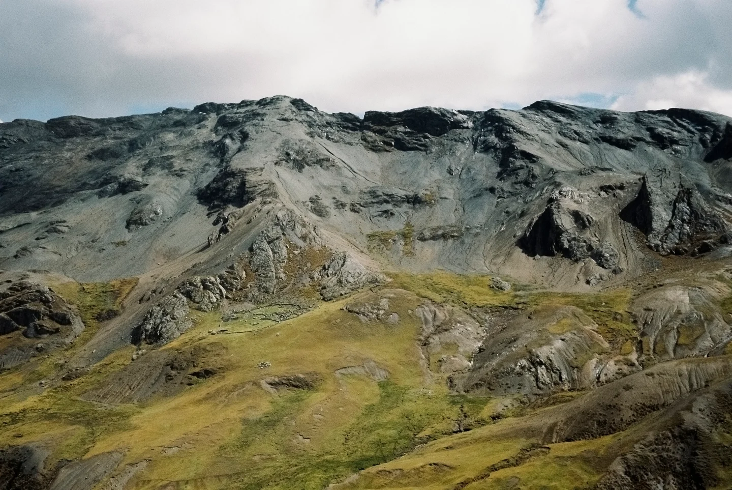
At the time when the first settlers arrived in Iceland, the edge of Breidamerkurjokull, an outlet glacier of the great glacier Vatnajokull, is thought to have been about 20 km further north than it is now. The climate began to cool in about the year 1200, the cold spell reaching a peak in the period 1600-1900, which is sometimes known as the "Little Ice Age". As a result, the glacier advanced until about 1890, reaching a point only about 1 km from the coast at Jokulsa river. The eastern part of the glacier eroded the sediments of Breidamerkursandur to a depth of up to 300 m below sea level, the sediment being carried forward by the river Jokulsa. Without the river the glacier could not have eroded such a deep basin, because it is the river that carries the sediment to the sea.
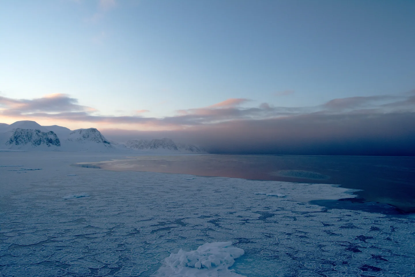
The warm period from 1920 to 1965 caused great changes in Breidamerkurjokull glacier. It retreated very quickly, leaving a lagoon up to 190 m deep where the glacier snout had been, and several kilometers of glacial moraines were exposed on both sides of the lagoon. The lagoon grew from 8 km2 in 1975 to nearly 15 km2 in 1998. Large blocks of ice break off the edge of the glacier, which is about 30 m high, keeping the lagoon stocked with icebergs.
/source:http://www.jokulsarlon.com/
Featured on GeoLog, the official blog of the European Geosciences Union (opens in a new window)
Categories
Reuse
Creative Commons Attribution-NonCommercial-ShareAlike 3.0 Unported (CC BY-NC-SA 3.0) (opens in a new window)Credit: János Kovács (distributed via imaggeo.egu.eu)
Comments
The photo was taken from a boat.