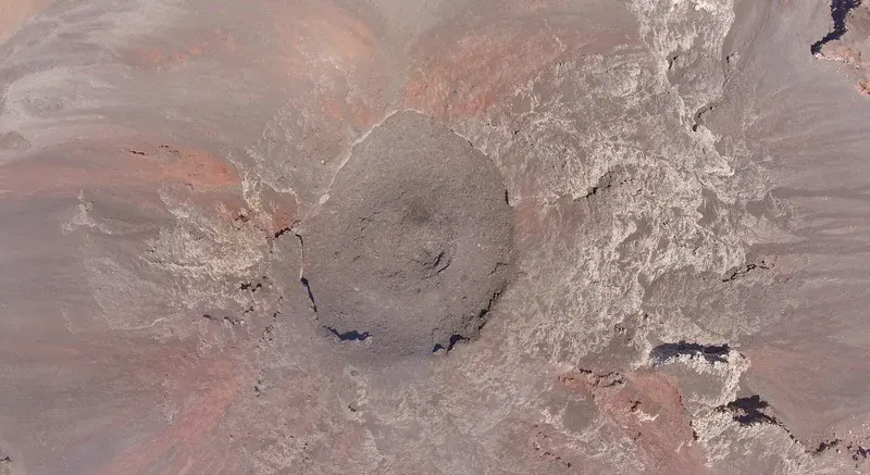
Flying in the danager zone
by Kieran Wood, University of Bristol
A view from directly above Volcán de Fuego in Guatemala taken from a drone flying at 3km distance. The peak of this volcano is so inaccessible and inhospitable that this was the first view of the summit in years.
Category
Location
- North America (772)
- Central America (93)
- Guatemala (32)
- Exact location (-90.8809 W, 14.4746 N)
Tags
Colours
Image properties
3945 × 2155 px;
image/png; 9.6 MB
Camera:
DJI Phantom 3 Pro Sony EXMOR 1/2.3
Taken on 19
February
2017
Submitted on 15 February 2018
Licence
Creative Commons Attribution-ShareAlike 3.0 Unported (CC BY-SA 3.0)
Credit
Kieran Wood (distributed via imaggeo.egu.eu)
Share
Appreciate
Report